Central Coast Tour
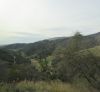
Day 1, The Central Coast Rails, Whales, & Dunes three–day tour was given by Good Times Travel, a Southern California tour operator. It was offered by a local college’s community extension program from which some of the tour people had signed up. We were picked up by a small bus and driven to Agora Hills about an hour away to join the rest of our tour group that came from a different starting point. Then onto a big bus which drove us to the Oxnard train station where we got on an Amtrak train headed to San Luis Obispo. On the train, after traveling past the city of Santa Barbara, we had a view of about 50 miles of undeveloped California coastline, about 20 miles more than you can view if you are driving this route.
Central Coast Tour
Channel Islands National Park
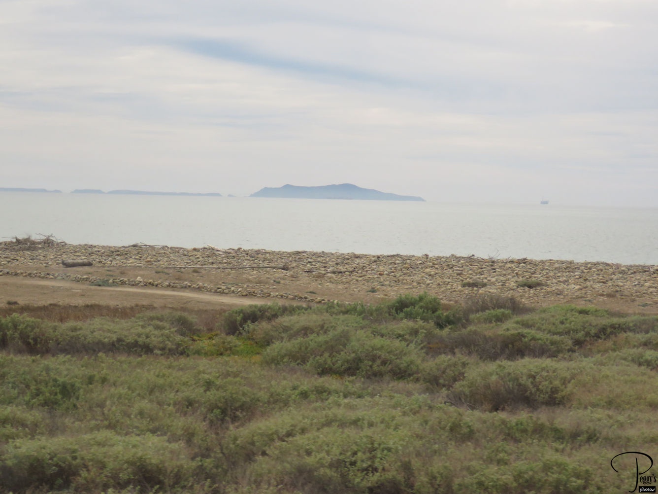
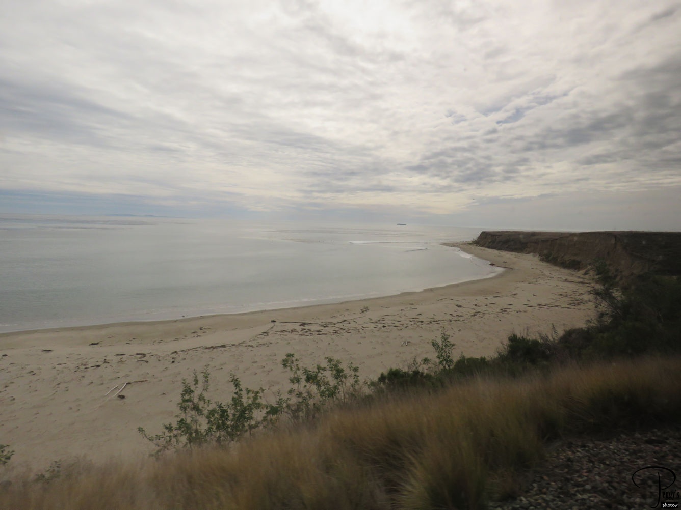
California’s Central Coast is approximately from Ventura County, north of Los Angeles, to Monterrey, south of San Francisco. Highway 1 runs along most of the coast but part of the section through Big Sur is now closed due to damage caused by last year’s rains. At the southern end of Highway 1 and also from the train, you can see most of the islands making up the Channel Islands National Park: Anacapa, Santa Cruz, Santa Rosa, San Miguel, and Santa Barbara. You can take boats through Island Packers to all of the islands except to Santa Barbara which is now closed due to damage to its landing pier––check with the company for latest updates––and go by air to some of them. I have been to all but Santa Barbara island. The islands are almost completely undeveloped, and since there is only limited service to the islands, not many people are on the islands when you are there. You almost have an island all to yourself. Photo is of Anacapa Island.
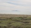
Channel Islands National Park
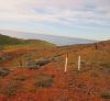
Colorful Hills
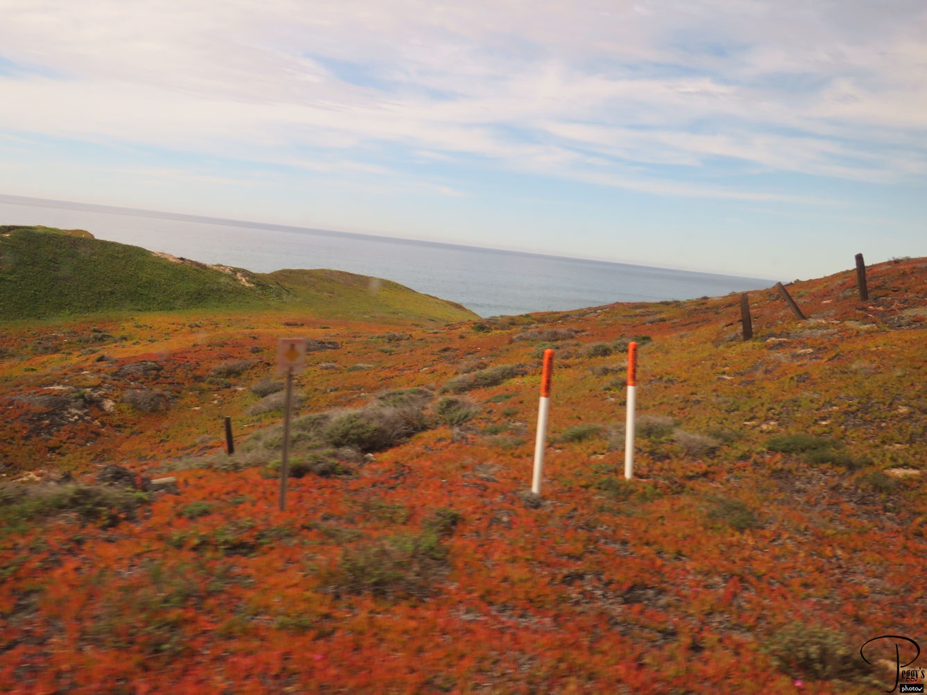
A special treat outside the train window was the colorful hills of ice plant turning orange and red. Soon these hills will be covered with colorful flowers. Note that most people drive up or down to the Central Coast as you really need a car to travel to all the great small towns, to the vineyards, and to the California missions and to see the marine life. The Central Coast is one of my favorite places as, unless you are here during holiday weekends, it is relatively uncrowded and a very peaceful and interesting place to visit.
Colorful Hills
Inn at Morro Bay
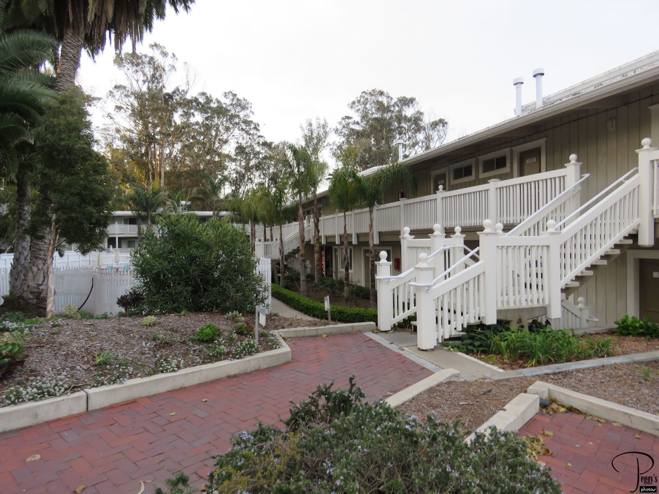
We got off the train at San Luis Obispo and our bus drove us to the Inn at Morro Bay where we would stay two nights. The inn is in the Morro Bay State Park.

Inn at Morro Bay
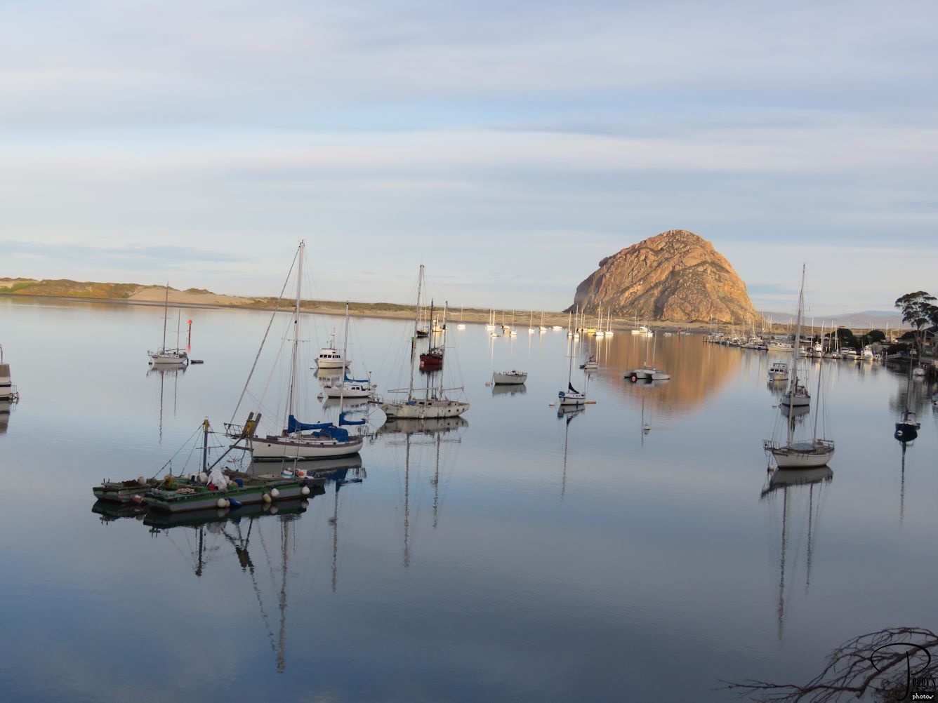
Morro Bay Sunset
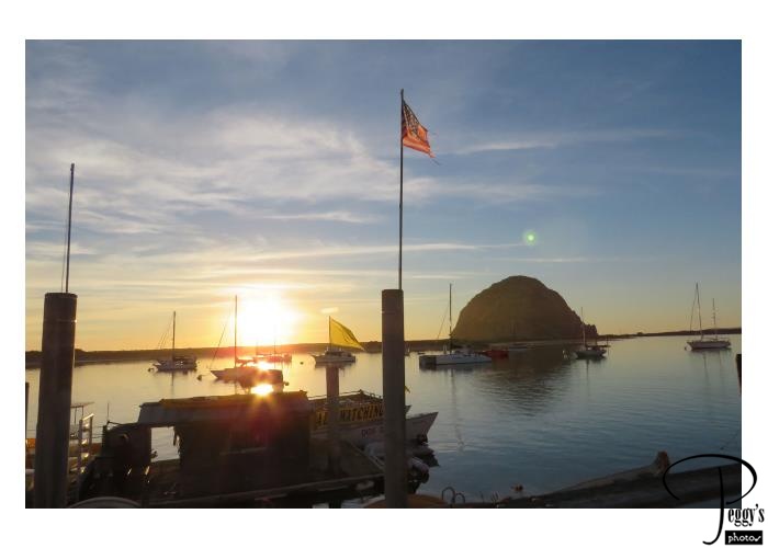
We went out to dinner at Morro Bay. The sun was just setting and the sky was beautiful. The rock in the photo is Morro Rock, a volcanic plug. It was named “El Morro” by the Portuguese explore Juan Rodriquez Cabrillo in 1542. There is a causeway connecting it to the mainland and you can drive out to it.
Morro Bay Sunset
Morro Bay Sunset
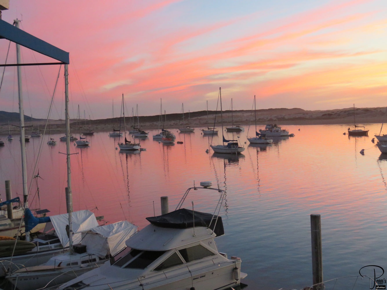
More of the sunset.
Morro Bay Sunset
Morro Bay
Day 2, The sun shinning on Morro Bay in the morning.
Morro Bay
Bird Preserve
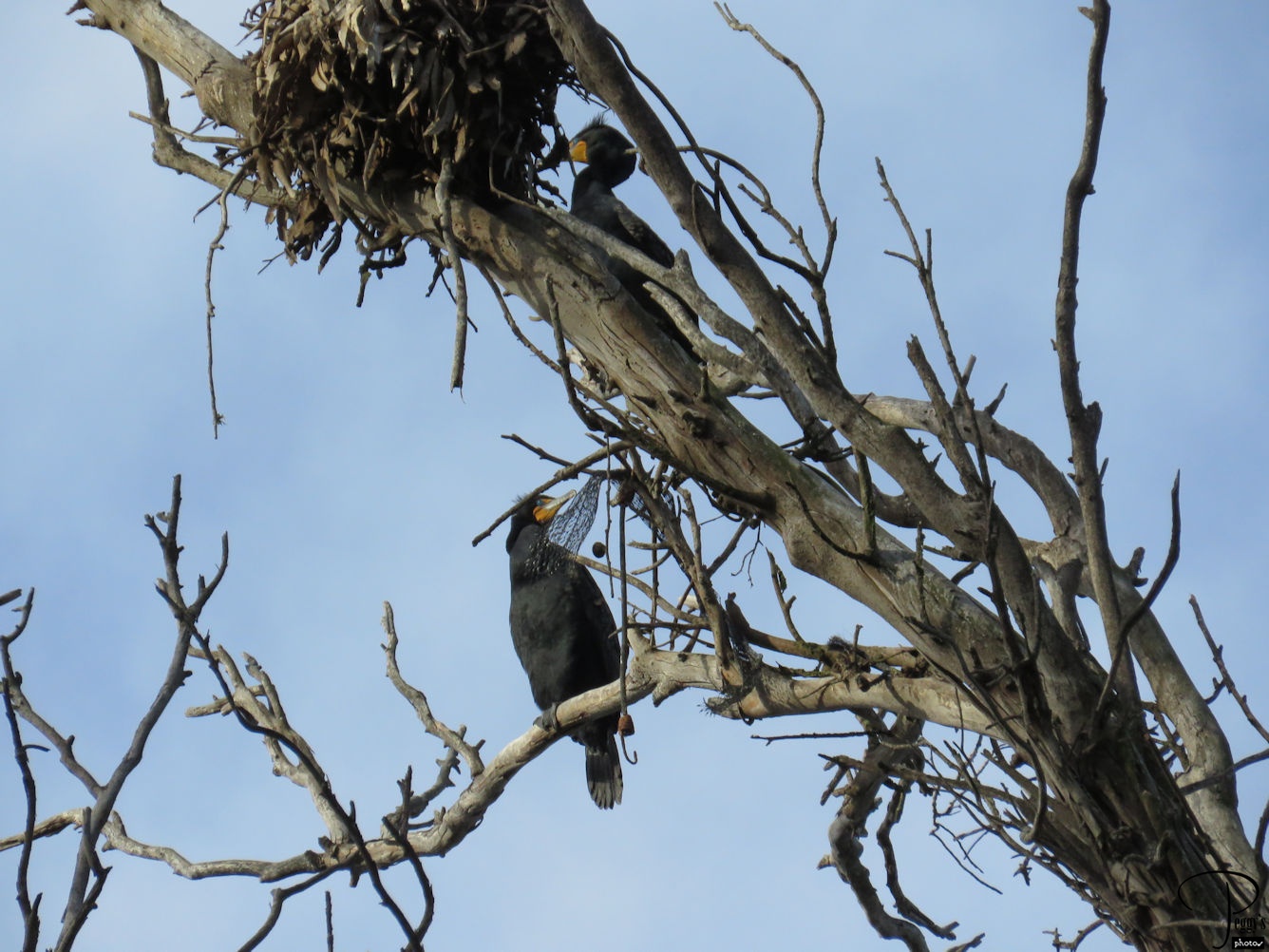
Up the hill from our hotel was a nesting sanctuary for birds. In the photo are herons near their nests.
Bird Preserve
Morro Bay Cruise
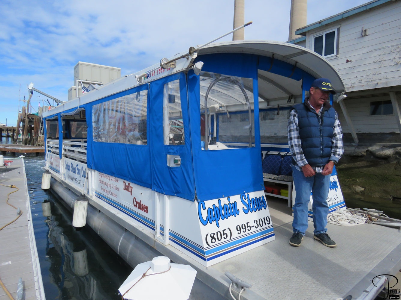
Our tour group was divided into two groups, one taking a whale watching cruise and one taking a Morro Bay cruise and then switching cruises. My group first took the Morro Bay cruise on this boat.
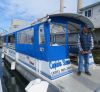
Morro Bay Cruise
Sea Otters
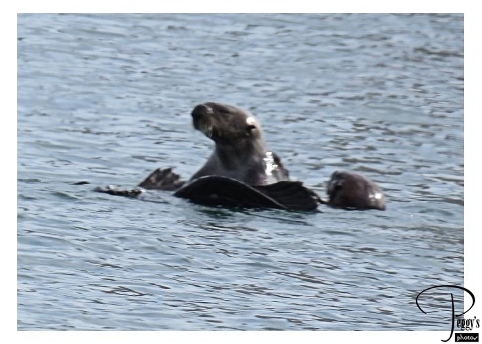
There were a number of sea otters in the bay, some resting and some, like the ones in the photo, playing. Fun to watch them.
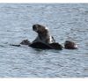
Sea Otters
Sea Lions

There was a raft in the bay for sea lions to hang out on.
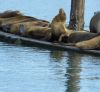
Sea Lions
Kayaking
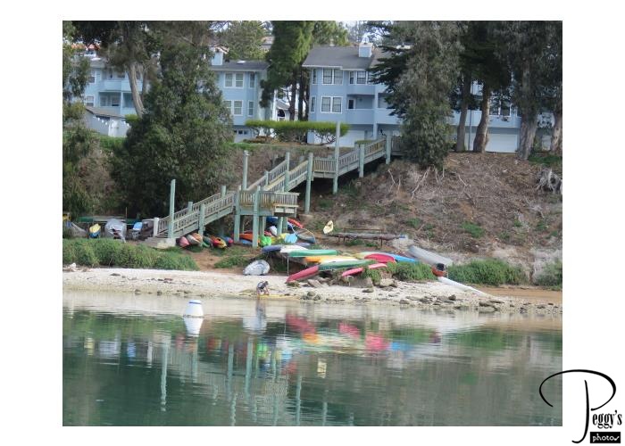
Kayaking is popular in Morro Bay. Photo of colorful kayaks reflected on the water.
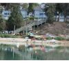
Kayaking
Heron
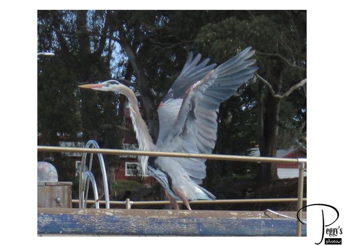
A white and gray heron was on a boat near ours and was getting ready to fly off.
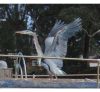
Heron
Whale Watching
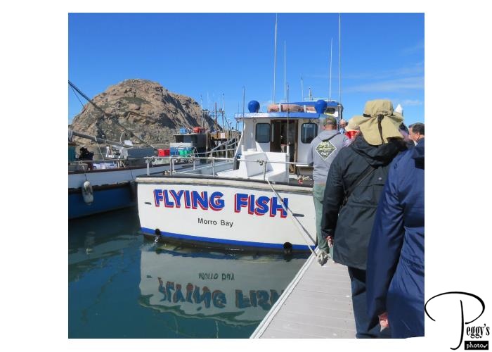
It was my group’s turn to take the whale watching cruise on the Flying Fish. The group that had just been on it told us that they saw at least six whales on their cruise, including one just outside the breakwater.
Whale Watching
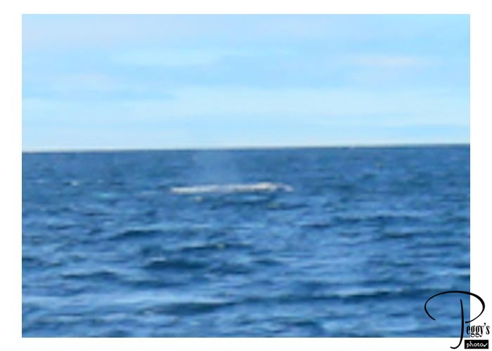
Whale Watching
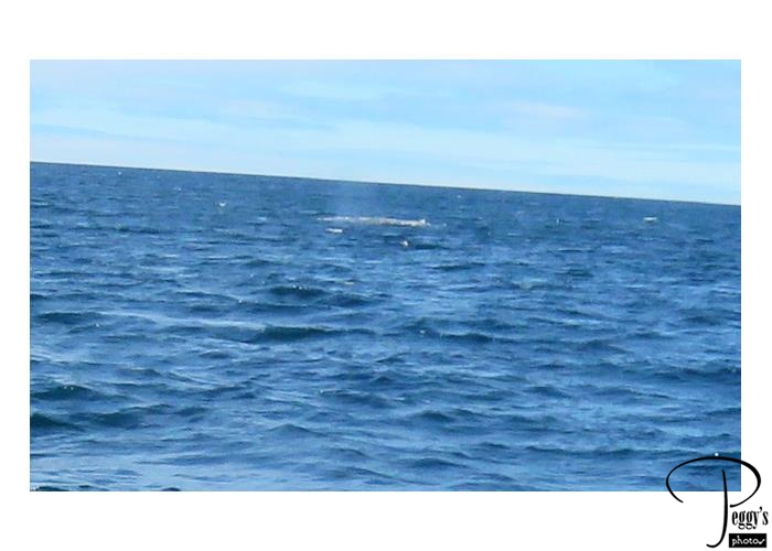
My group was not as lucky as the first group. I think we saw about three whales but at quite a distance. You looked for a water sprout and then could see a bit of the body of the whale, but it all happened so quickly and so far away I was not able to take any good photos of the whales. This photo really does show a whale.
These whales were gray whales that are gray and white. Gray whales migrate north from mating and calf lagoons in Baja Mexico and pass the California coast on their 10,000–mile swim to Alaska from December to mid–April. Blue whales migrate along the California coast mid–June through October.
Whale Watching
Whale Watching
Close–up of the last photo. This was my third try to see a whale in the ocean. The first time we did not see even one whale. The second time in Canada was canceled as the water was too rough to go out. It is a hit or miss activity.
An optional Oceano Dunes ride near Pismo Beach south of Morro Bay was offered after the whale watching and bay cruises. I didn’t go on it as I had already been on it a number of years ago. I remember it as great fun but some of my tour group (maybe most of them) didn’t think it was fun as there was quite a bit of nausea and the result of it during the ride on the dunes.
Whale Watching
Thursday Farmer’s Market
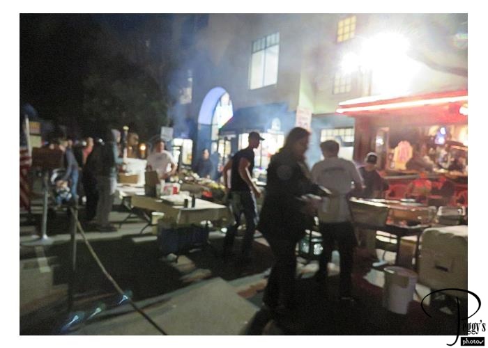
We went to the Thursday Farmer’s Market in nearby San Luis Obispo for dinner. I and others who had been here before remember it as a market with booths selling farmer’s produce and many handicrafts and also wine. Almost all of the booths this night were food booths set up to feed the hungry local college students. Maybe the market is different in the weeks or months when the colleges are not in session. The lines were long at the food booths. I and a friend found a pizza restaurant to eat at. Very good pizza. For dessert, we had churros at one of the booths.

Thursday Farmer’s Market
Morro Bay
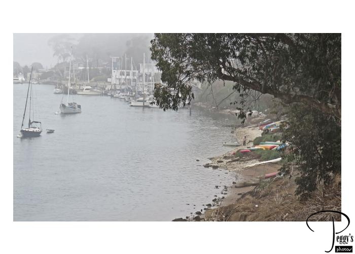
Day 3, Morro Bay was enveloped in fog this morning.
Morro Bay
Guadalupe-Nipomo Dunes Center
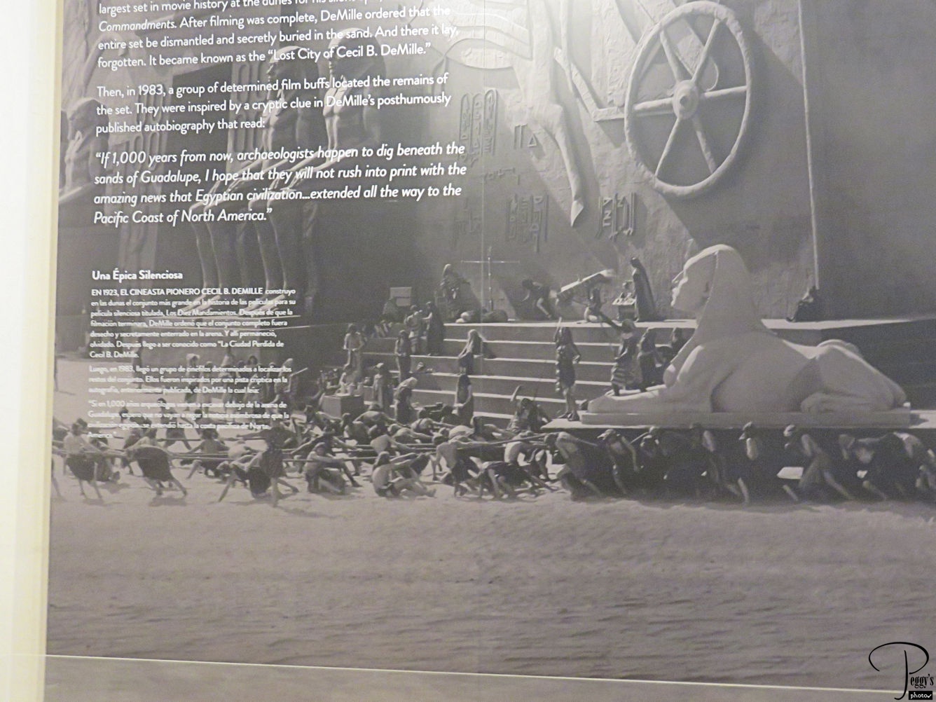
We checked out of our hotel and traveled south on our bus and visited the Guadalupe–Nipomo Dunes Center to view an exhibition dealing with the filming of Cecil B. DeMille’s 1956 “The Ten Commandments.” The photo shows part of the film set which was built on the Guadelupe Dunes.
Guadalupe-Nipomo Dunes Center
Guadalupe-Nipomo Dunes Center
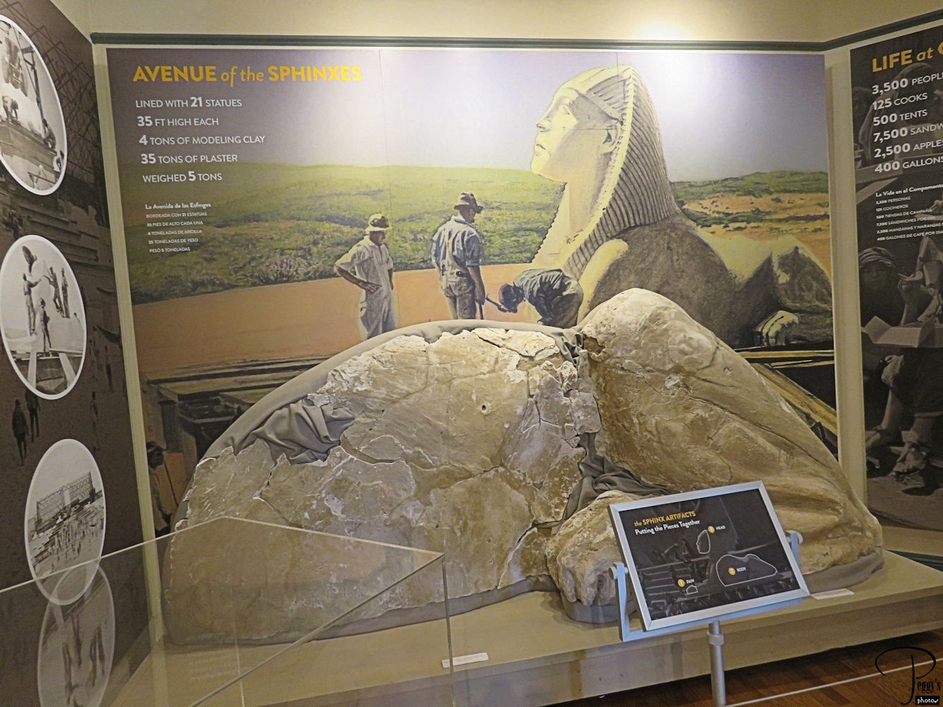
After filming was completed, the set that was 12 stories high and 800 feet wide were buried in the dunes. In 2017, archeologists uncovered one of the heads of the 21 sphinxes that were buried. The photo shows the body and paw of the sphinx that was recovered. Parts of another sphinx has been uncovered and is now being worked on and everyone is invited party is slated for July to unveil the new sphinx.
Guadalupe-Nipomo Dunes Center
Rancho Guadalupe Dunes Preserve
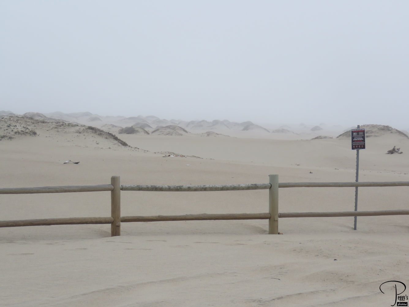
We visited the Rancho Guadalupe Dunes Preserve which covers 500 acres. It is part of coastal dunes that run for many miles along the Central California coast.
Rancho Guadalupe Dunes Preserve
Guadalupe
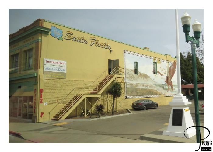
We drove through the town of Guadalupe, population 7,080 and established in 1840. It has a number of old buildings.

Guadalupe
Solvang
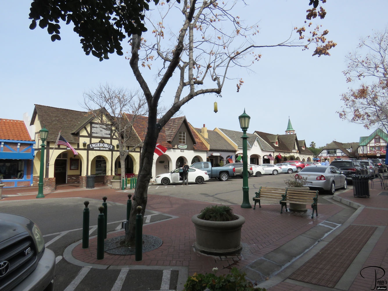
Our next stop was in Solvang, a town founded by Danes in 1911 which has recreated Danish architecture.
Solvang
Solvang
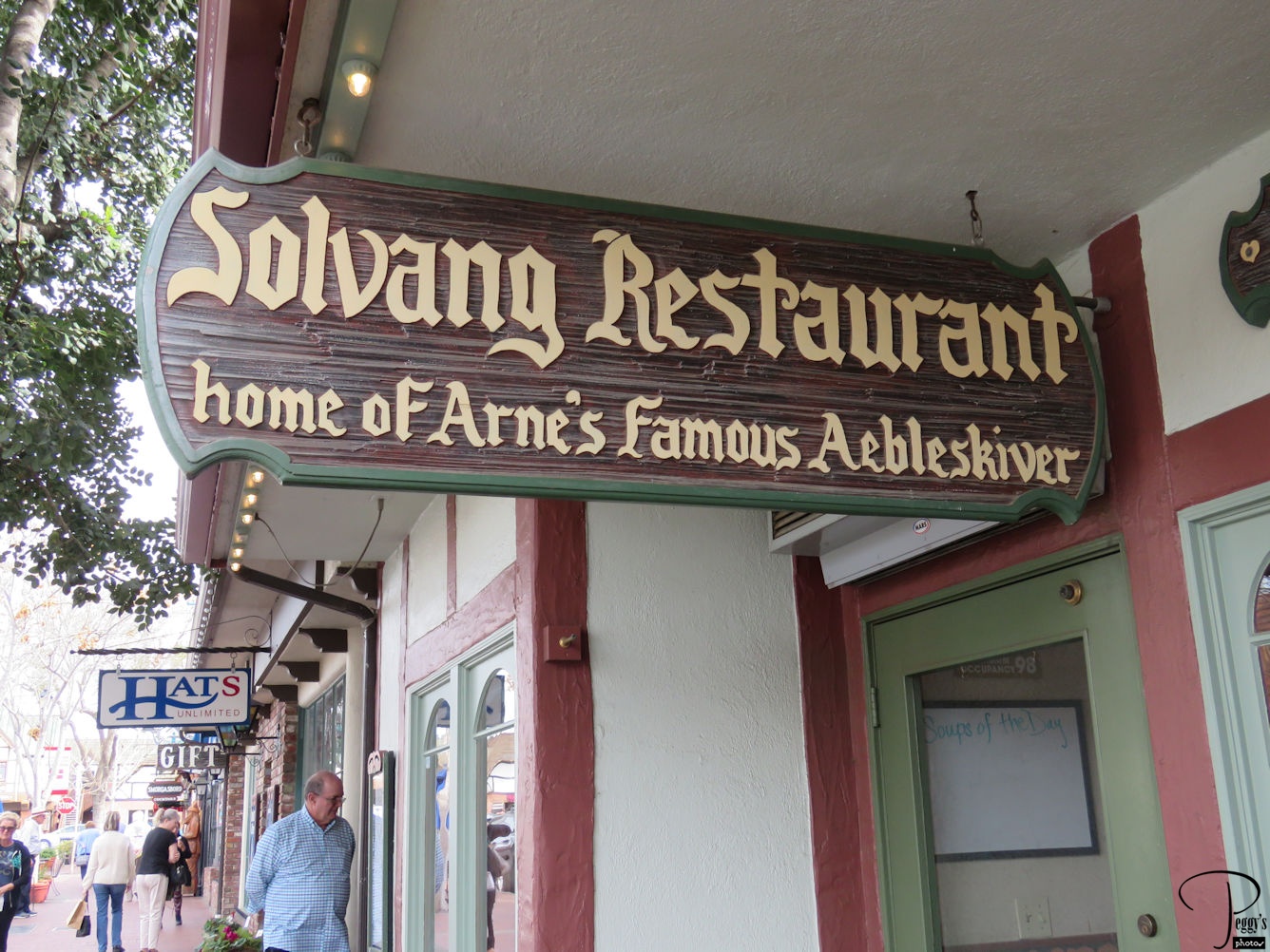
We ate lunch in Solvang. I and a friend went to the Solvang Restaurant, the “home of Arne’s famous Aebleskiver.”
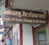
Solvang
Aebleskivers
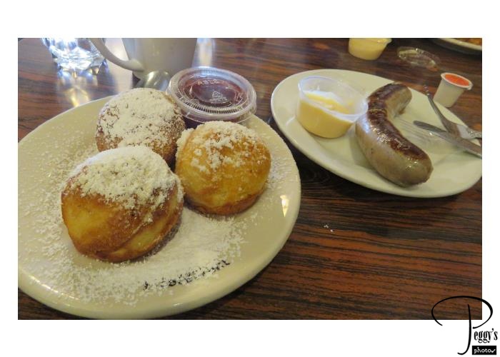
There are many restaurants in Solvang, but anytime I am in Solvang, I go to this restaurant to have aebleskivers. Aebleskivers are Danish puffed pancakes, here served with powdered sugar and raspberry jam. They are Easter and Christmas food in Denmark but available in Solvang year–round. A Danish sausge with Danish mustard completes a meal.

Aebleskivers
Solvang
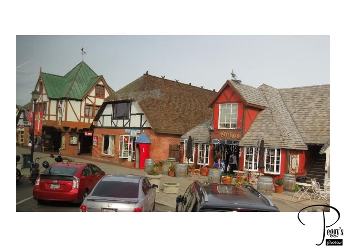
We didn’t have much time in Solvang, which is a very interesting town to see walk around slowly. There are many shops, bakeries, and museums, wine tasting shops, windmills, a California mission, Danish architecture, and the Little Mermaid Fountain, a half–size replica of the one in Copenhagen.

Solvang
San Marcos Pass
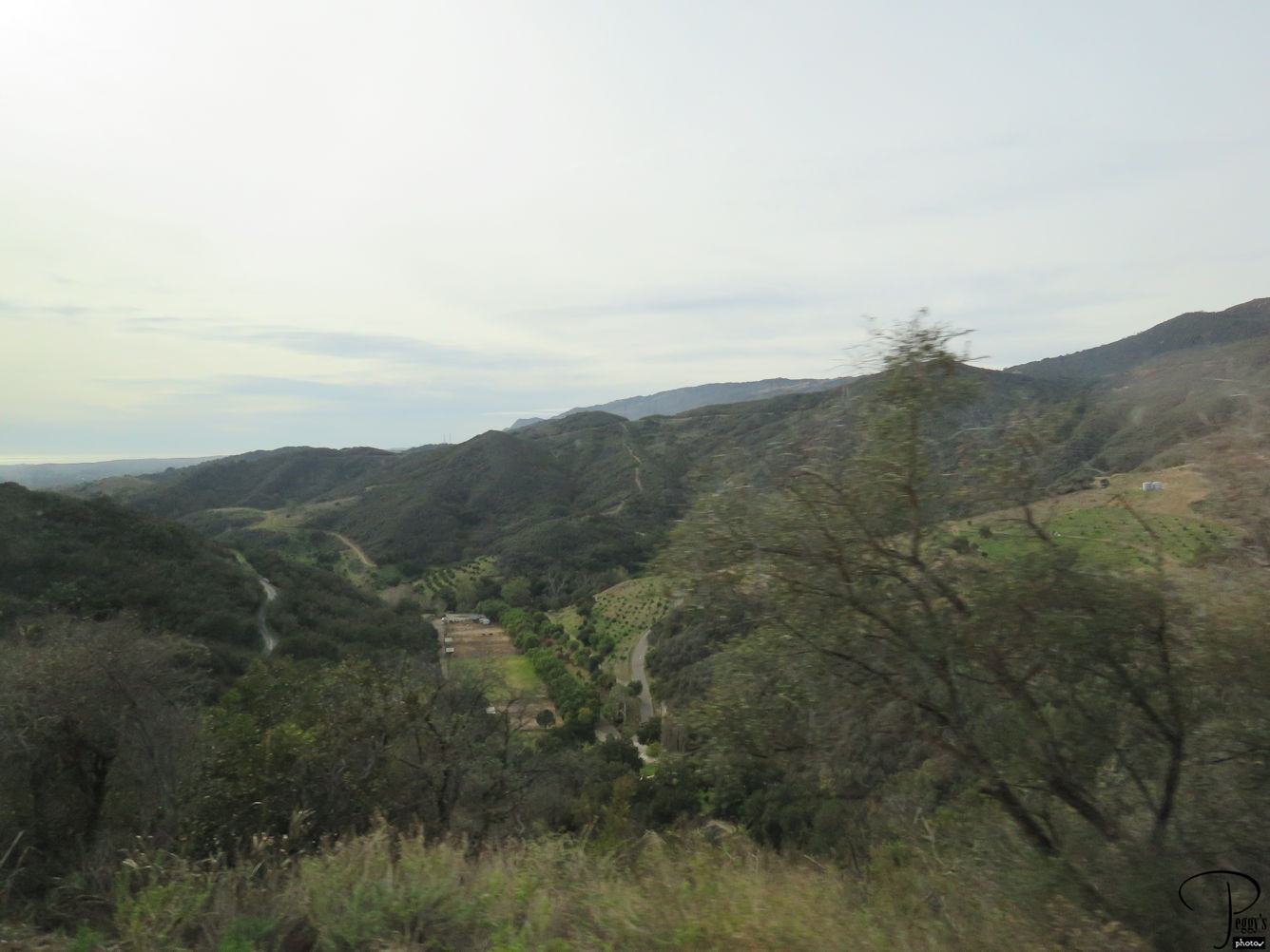
From Solvang, we headed south to the Los Angeles area. There are two ways to head south from Solvang––one is to backtrack to Highway 1, the coast road, and the other is to go through the San Marco Pass through the Santa Ynez Mountains, the route which we took.
I have put my photos of our three–day trip on two slideshows. Go to
http://www.peggysphotos.com/central–coast–rails–whales–dunes/
http://www.peggysphotos.com/central–coast–rails–whales–dunes–2/
(Slide Shows, United States, California–1, “Central Coast, Rails, Whales, & Dunes–1 and –2”).