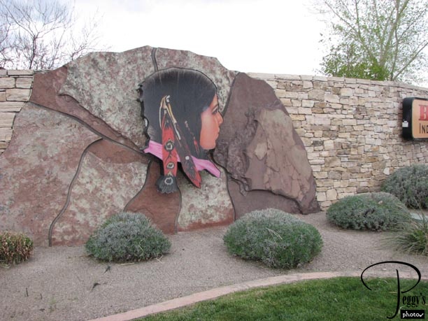
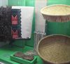
Bien Mur Indian Market Center
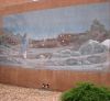
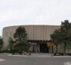
Today was extremely windy and overcast. Linda was busy today, so I was on my own, debating whether the wind was too fierce to even go anywhere. But I did. First to the Bien Mur Indian Market Center on the Sandia Indian Reservation. I could take the frontage road paralleling the I–25 and avoid driving on the Interstate. The Bien Mur Center was not far. Photo: Entrance to the Bien Mur Center.
Bien Mur Indian Market Center
Bien Mur Indian Market Center
The Bien Mur Indian Market Center is upscale and you can buy some very nice jewelry here as well as Indian blankets, dolls, posters, etc., etc. None of the jewelry had its price shown, but you can ask to see what they have in “lower–priced” items and they did have a good selection of them. I bought some jewelry and posters here and almost bought a basket. Compared to the prices of the Indian baskets that I had previously seen, this basket was a real buy. But the clerk told me that the basket was actually made in Pakistan and that the reason they carry it is for the Indians who want a basket to use for fruit or such and who don’t want to spend much money on it.
Bien Mur Indian Market Center
Across from the Bien Mur Indian Market Center
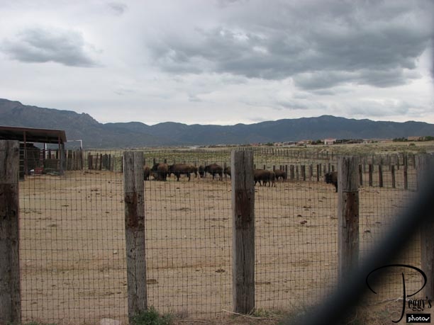
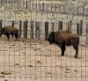
Right across from the market was a herd of buffalo, an unexpected sight.
Across from the Bien Mur Indian Market Center
Across from the Bien Mur Indian Market Center
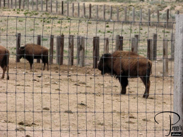
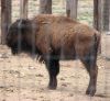
A closer–up view of the buffalo.
Across from the Bien Mur Indian Market Center
Across from the Bien Mur Indian Market Center
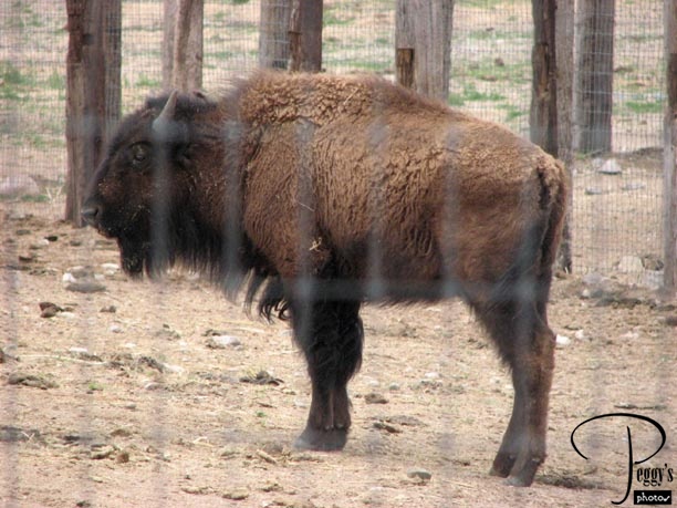
An even closer–up view. The lines in the photo are fence lines––there was a double fence keeping the buffalo from roaming.
Across from the Bien Mur Indian Market Center
Sandia Pueblo Resort
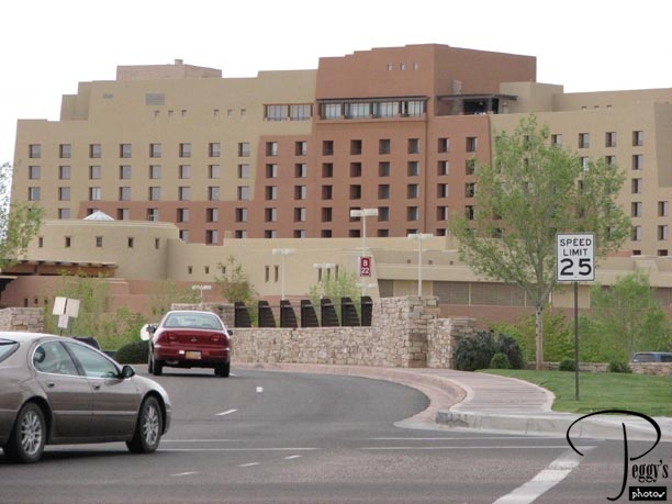
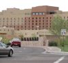
Photo of the upscale Sandia Resort which is a luxury hotel, spa, casino, outdoor concert venue, and golf course. There is also Sandia Lakes on the reservation offering fishing, wildlife viewing, etc. Fewer than 500 Sandia Indians live on the reservation. I got gas at the station here––$2.85 a gallon, which was not less expensive than elsewhere in Albuquerque but 50 cents less expensive than when I left Los Angeles. It was so windy now that it took me awhile to decide whether to go back to Linda’s or continue onward. I finally decided that since I was a tourist here that I should see as much as possible and I went onward.
Sandia Pueblo Resort
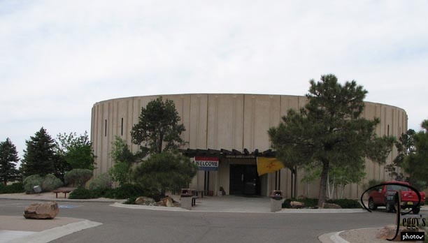
Coronado State Monument
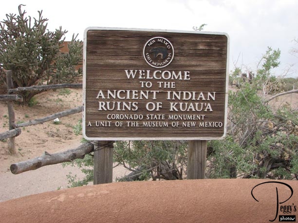
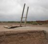
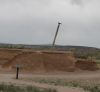
The Coronado State Monument is four miles east of the town of Bernalillo, its Interstate exit about 9 miles from where I was. I didn’t have any problem controlling my Volvo on the Interstate, but had to grip the steering wheel hard traveling those four miles west of the exit. Two other visitors to the monument where leaving just when I came and then two others came later on but left because of the wind. Hence, I had the monument all to myself except for the workers at it. At the monument are the ancient ruins of the Kuaua Indian Tribe. This tribe no longer exists and it is believed that its descendants are the Sandia and Santa Ana Pueblo Indians. The Pueblo of Kuaua was occupied from 1300 A.D. and abandoned near the end of the 16th century. The monument is named after Francisco Vasquez de Coronado, who is believed to have camped here in 1540 while searching for the Seven Cities of Gold.
Coronado State Monument
Coronado State Monument
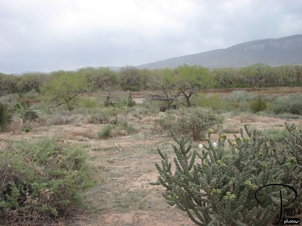
View of the Sandia Mountains and the Rio Grande. The Kuaua Indians were successful agriculturists, using the water of the Rio Grande for their crops. They also had a supply of wildlife in the mountains.
Coronado State Monument
Coronado State Monument
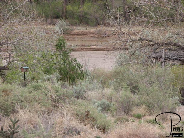
Close–up view of the Rio Grande. There is a trail to the edge of the river if you so wish to get a closer view of it.
Coronado State Monument
Coronado State Monument
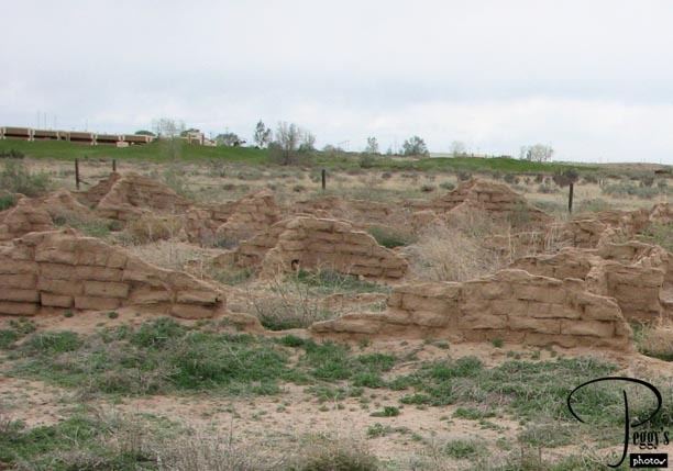
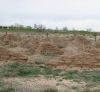
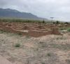
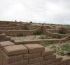
View of some of the ruins. The Pueblo of Kuaua was excavated by archaeologists in the 1930s. A description of the building of the pueblos was given by Pedro de Casteneda, a Spanish explorer, in 1540–41: “They all work together to build the villages, the women being engaged in making the mixture and the walls, while the men bring the wood and put it in place. They have no lime, but they make a mixture of ashes, coals, and dirt which is almost as good as mortar, for when the house is to have four stories, they do not make the walls more than half a yard thick. They gather a great pile of twigs and grass and set it afire, and when it half coals and ashes they throw a quantity of dirt and water on it and mix it all together. They make round balls of this, which they use instead of stone after they are dry, fixing them with the same mixture which comes to be like stiff clay.”
Coronado State Monument
Coronado State Monument
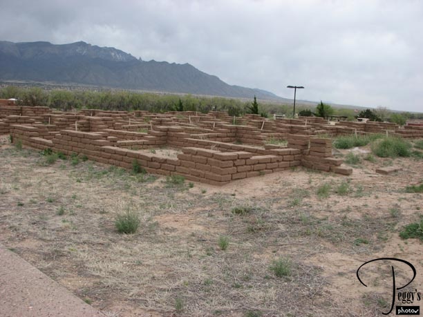
Partially reconstructed houses. Gaspar Perez de Villagia, another Spanish explorer, wrote one of the first travel journals in 1610 which described the pueblos: “We visited a good many of these pueblos. They are all well built with straight, well–squared walls. Their towns have no defined streets. Their houses are three, five, six and even seven stories high, with many windows and terraces. The men spin and weave and the women cook, build houses, and keep them in good repair…. They are quiet, peaceful people of good appearance and excellent physique, alert, and intelligent….They live in complete equality, neither exercising authority nor demanding obedience.”
Coronado State Monument
Coronado State Monument
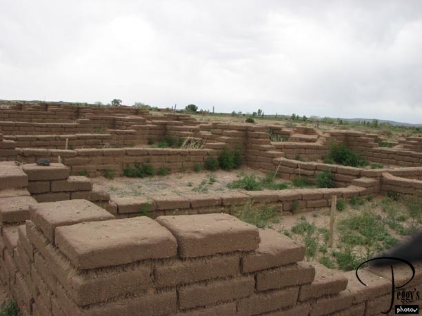
Reconstructed ruins. From a description at the monument of the pueblos: “Many of the large pueblos constructed along the Rio Grande were built over a long period of time. New households were connected to previous construction and eventually surrounded by a central plaza. As other people joined the community, they constructed their own room blocks and plaza areas, much in the same way that neighborhoods develop within today’s communities.”
Coronado State Monument
Coronado State Monument
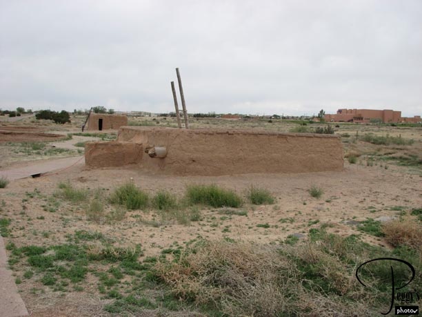
A reconstructed one–story pueblo house.
Coronado State Monument
Coronado State Monument
Another reconstructed pueblo house.
Coronado State Monument
Coronado State Monument
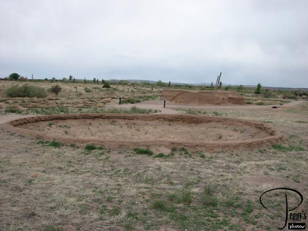
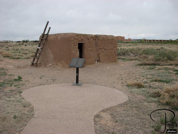
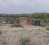
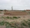
A reconstructed kiva (ceremonial chamber) in the background and the foundation of another kiva in the foreground.
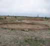
Coronado State Monument
Coronado State Monument
The kiva was reconstructed on the original foundation of a kiva found during the excavations. The entrance to it is by a ladder through a hatchway in the roof.
Coronado State Monument
Coronado State Monument
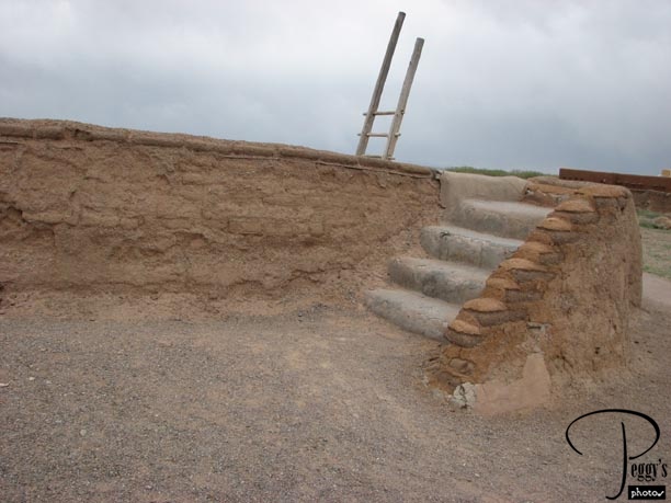
Steps up to the roof of the kiva.
Coronado State Monument
Coronado State Monument
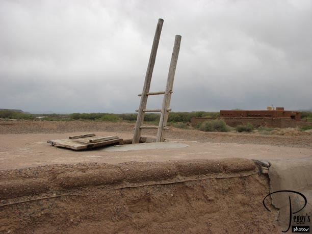
Closer–up view of the ladder and the hatchway. The ladder will take you to the floor in front of the pit, behind which is an altar. You are allowed to climb into this kiva, but no photos inside it are allowed. I wanted to go down into it, but thought better of going down there when I was the only visitor at the monument.
Coronado State Monument
Coronado State Monument

Another view of the kiva. Many murals were excavated from the kiva and they are on a wall in the Visitor Center for viewing––no photos allowed of them.
Coronado State Monument
Coronado State Monument

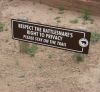
I didn’t see this sign until after I had walked around the trails. However, I did ask at the Visitor Center if there were any animals I could meet up with on the trails––they told me that it was too cold and windy for the animals to be here.
Coronado State Monument
Coronado State Monument
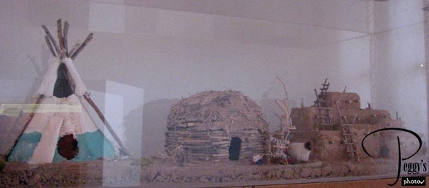
This is one of a number of interesting displays in the Visitor Center, showing the three main types of Indian houses. On the left, the Tipi, an ideal waterproof shelter that was warm in the winter and cool in the summer. The women of the tribes made, owned, and erected the tipis. The middle structure is called a hogan and were the typical Navajo homes. They were octagonal or hexagonal and built facing east. The third structure is the pueblo, built on mesas and cliffs and in canyons. The houses were owned by the women. People entered the pueblos by ladders through the roof. The ladders could be removed if enemies attacked.
Coronado State Monument
Coronado State Monument
A model of a pueblo house.
Coronado State Monument
Coronado State Monument
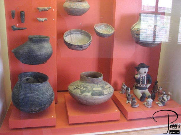
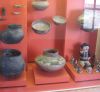
Indian pottery.
Coronado State Monument
Coronado State Monument
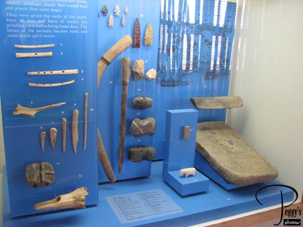
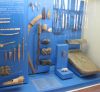
Indian tools.
Coronado State Monument
Coronado State Monument
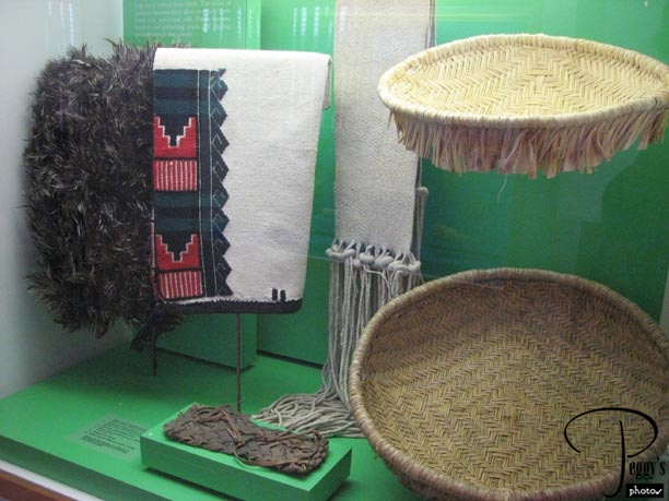
Indian blanket and baskets.
Coronado State Monument
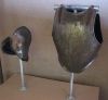
Coronado State Monument

Spanish conquistador armor.
Coronado State Monument
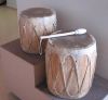
Coronado State Monument
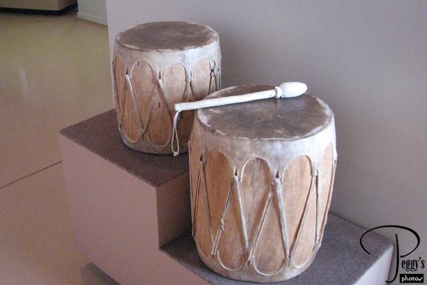
Indian drums.
Coronado State Monument
Coronado State Monument
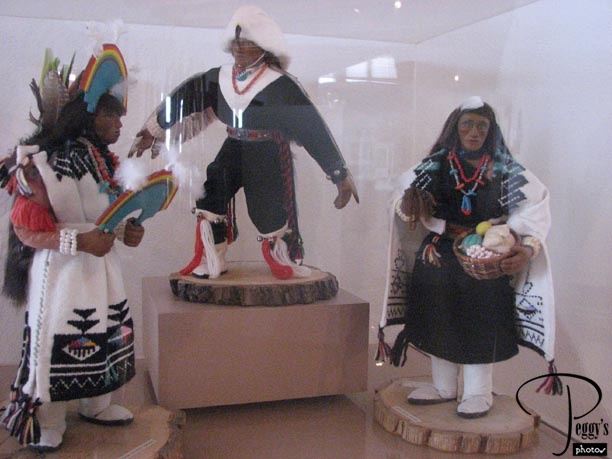
Indian dress.
Coronado State Monument
Coronado State Monument
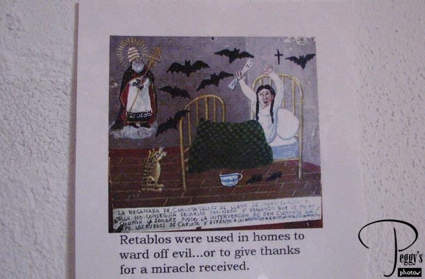
Retablos were used in homes to ward off evil…or to give thanks for a miracle received.
Coronado State Monument
Coronado State Monument
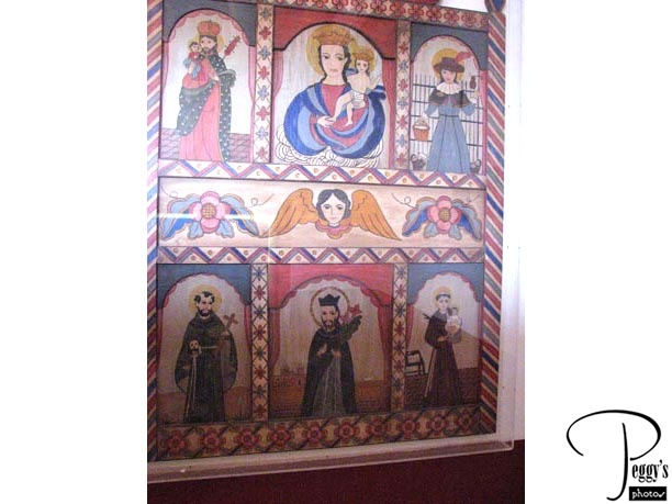
A retablo.
Coronado State Monument
Coronado State Monument
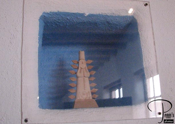
Indian statue.
Coronado State Monument
Coronado State Monument
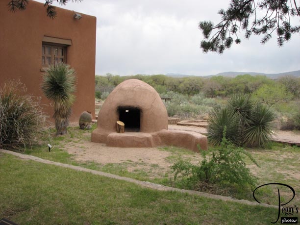
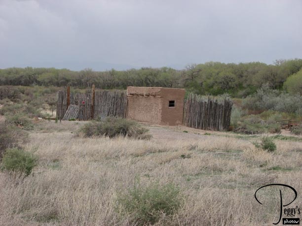
An outdoor oven in front of the Visitor Center.
Coronado State Monument
Coronado State Monument
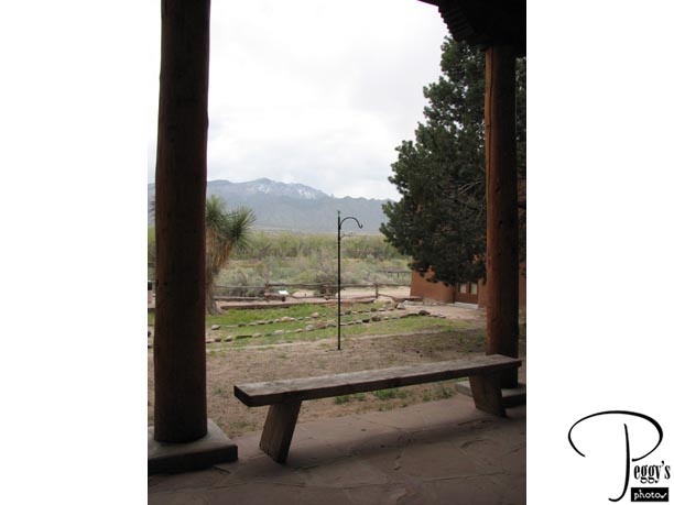
View through the door of the Visitor Center.
Coronado State Monument
Coronado State Monument
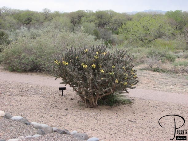
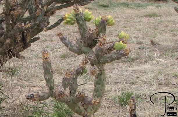
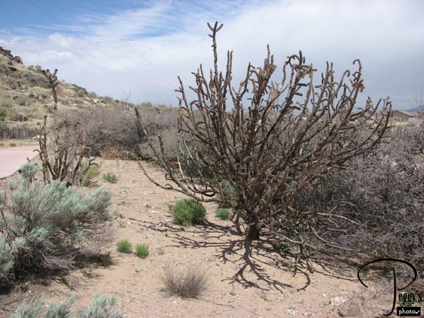
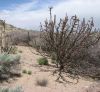
A desert plant here––the cholla.
Coronado State Monument
Coronado State Monument
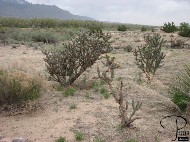
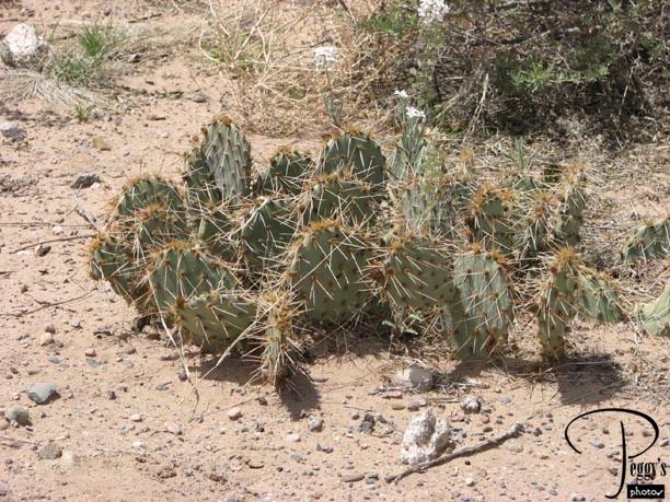
More cholla bushes.
Coronado State Monument
Coronado State Monument
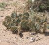
A cactus in the middle of the chollas.
Coronado State Monument
Coronado State Monument
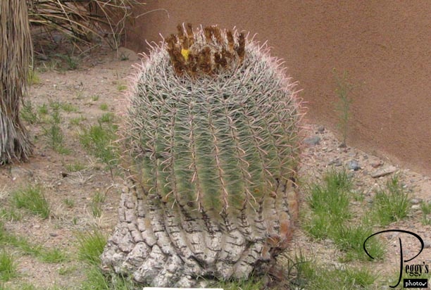
A barrel cactus.
Coronado State Monument
Coronado State Monument
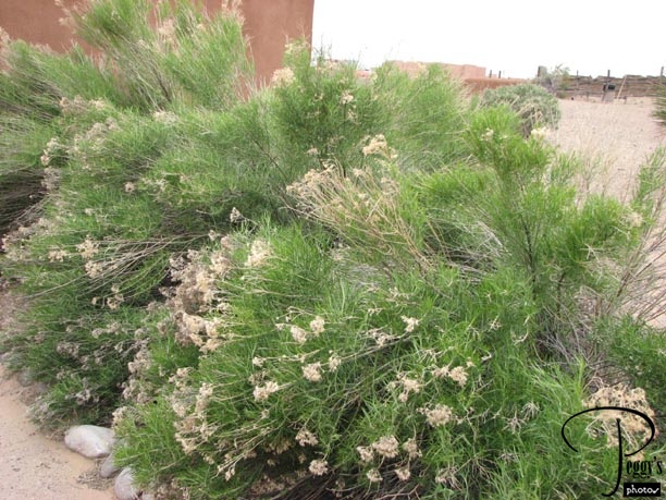
A chamisa.
Coronado State Monument
Coronado State Monument
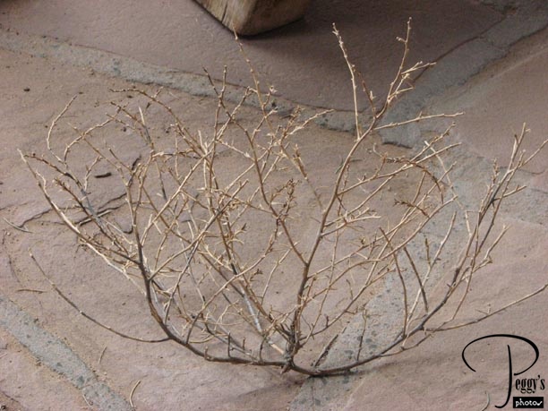
A tumbleweed at rest during a break in the wind.
Coronado State Monument
Petroglyph National Monument
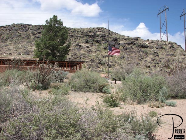
I got back on the I–25 and saw a sign for the Petroglyph National Monument. You can go there from this exit, but it will take you by street all the way from one end of Albuquerque to the other. It was an interesting drive and I got to see more of Albuquerque than I would have otherwise. I stopped first at the Visitor Center and was told that I would have to drive to one of the three areas in the monument to see the petroglyphs: the Boca Negra Canyon about three miles from the Visitor Center, Rinconada Canyon, or the Volcanos. You can see these dormat volcanos from the hills of Albuquerque. The trail map lists five of them: Vulcan, Black, JA, Butte, and Bond. There are about 20,000 petroglyphs of animals, people, crosses, etc., carved in black rock in the monument. The American flag is at half–mast in mourning for the victims of the Virginia Tech shootings earlier in the week.
Petroglyph National Monument
Petroglyph National Monument
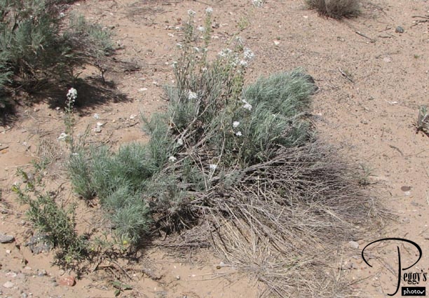
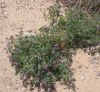
Before driving to the hiking trails, I took some photos of the desert plants at the Visitor Center. They were starting their spring blooms.

Petroglyph National Monument
Petroglyph National Monument
Desert plant.
Petroglyph National Monument
Petroglyph National Monument
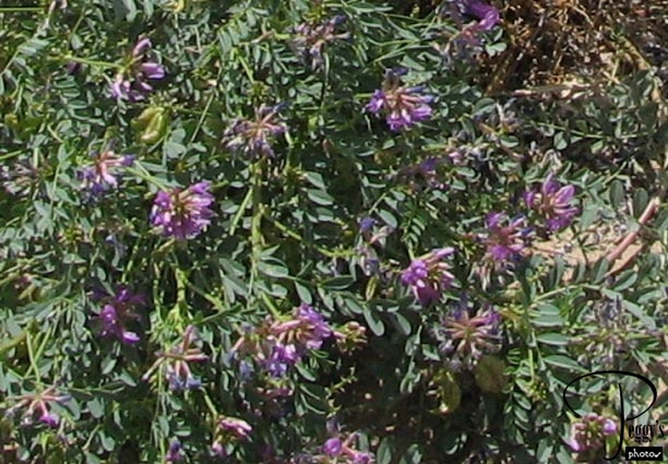
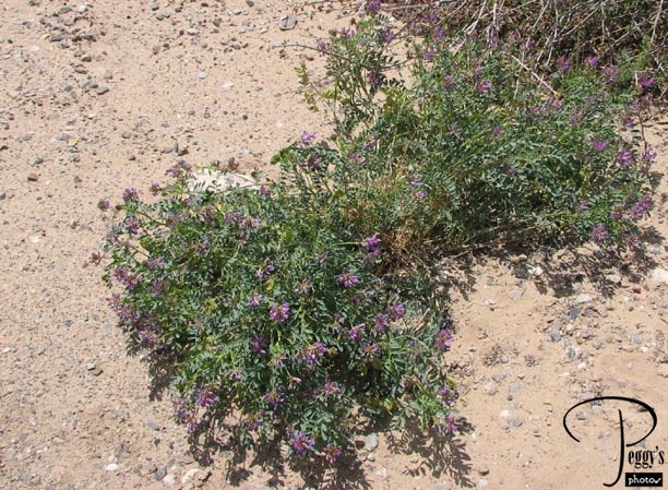
Close–up of the desert plant in the last photo.
Petroglyph National Monument
Petroglyph National Monument
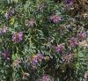
More desert plants.
Petroglyph National Monument
Petroglyph National Monument
Desert cactus.
Petroglyph National Monument
Petroglyph National Monument
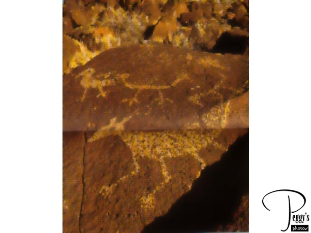
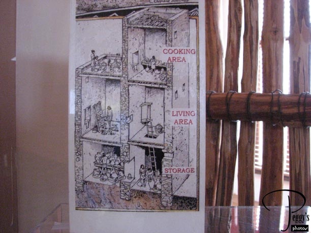
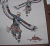
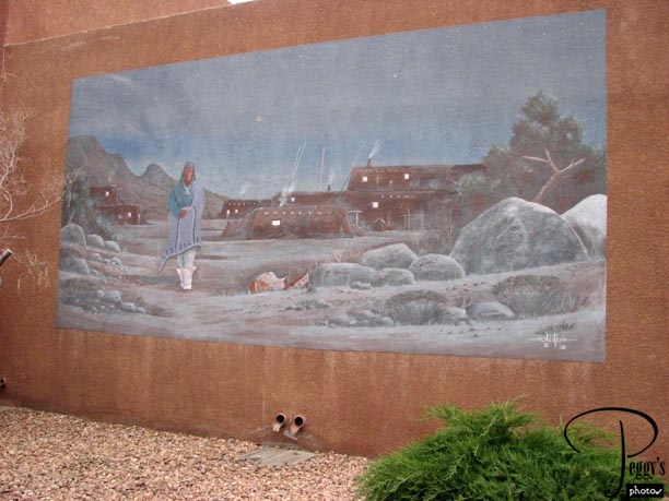
I drove to the Boca Negra Canyon, where the ranger told me was the easiest trail. However, when I got there I decided (1) that I really didn’t feel like doing any hiking even though the ranger at the canyon told me that there probably wouldn’t be any rattlesnakes on the trail as it was too cold, (2) I already had seen many petroglyphs in Arizona and Nevada, and (3) the Indian dances at the Indian Cultural Center would start soon and I would rather watch the dancers than hike. So I didn’t take any photos of the petroglyphs here but I did scan a photo of them from the monument’s brochure.
Petroglyph National Monument
Indian Pueblo Cultural Center
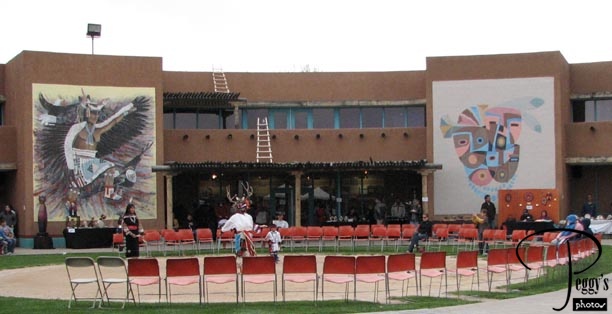
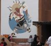
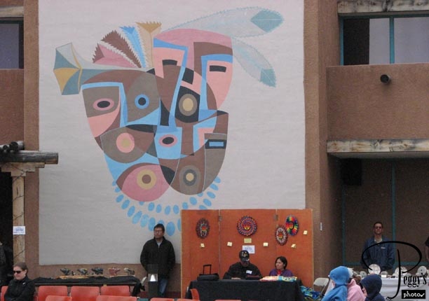
I made it to the cultural center in time to see the Indian dancers––the dances are held twice a day on weekends. The featured dancers today were Zuni Pueblo Indians. The reason why only a few seats are taken in the photo is because as soon as the dancing began it started to rain. It wasn’t even a rain dance. I think it is called a Kachina Dance. I have put a movie of the dance on this website: Go to Movies, United States, New Mexico, “Zuni Pueblo Dancers.”
Indian Pueblo Cultural Center
Indian Pueblo Cultural Center
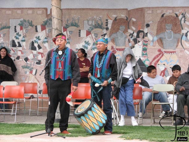
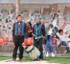
Indian singer and drummer.
Indian Pueblo Cultural Center
Indian Pueblo Cultural Center
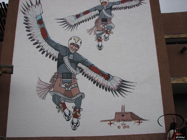
One of the murals on the walls in the cultural center––entitled “The Eagle Dance,” by J.D. Medina.
Indian Pueblo Cultural Center
Indian Pueblo Cultural Center

“The Runaway,” by Tommy Montoya.
Indian Pueblo Cultural Center
Indian Pueblo Cultural Center
Untitled, by Helen Hardin. There was a special Indian crafts market this weekend and there were vendor tables around the dance area.
Indian Pueblo Cultural Center
Indian Pueblo Cultural Center
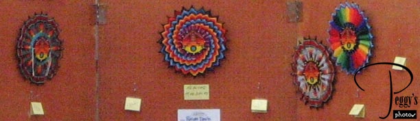
Close–up of artwork for sale from the bottom of the last photo.
Indian Pueblo Cultural Center
Indian Pueblo Cultural Center
“The Turtle Dance,” by Jose Rey Toledo.
Indian Pueblo Cultural Center
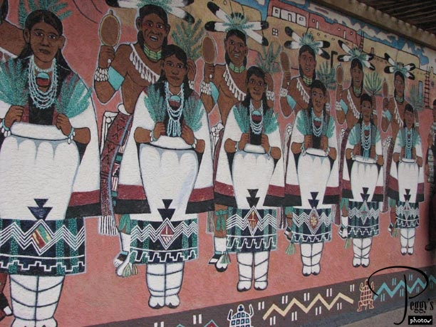
Indian Pueblo Cultural Center
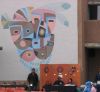
Mural on an outside wall. There is a very interesting museum at the cultural center with displays of pottery, etc., and descriptions of all the 19 Pueblo Indian tribes (no photos allowed). There is also a gift shop and a very good restaurant where I ate my lunch: warm roast beef sandwich on Indian fry bread. Delicious, as also was the fresh tortilla chips and salsa brought first to my table. You can get good information about all the Pueblo tribes on the center’s website: www.indianpueblo.org. I left the cultural center and called it a day.