Tour Map
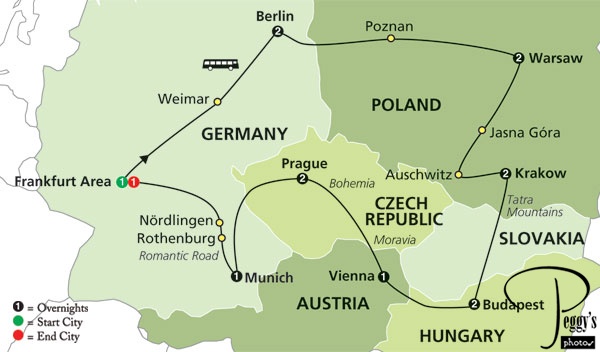
The route outlined is a total of 2094 miles or 3440 kilometers. We added more miles or kilometers on our side trips.
Tour Map
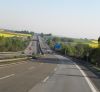
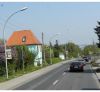
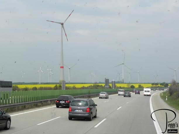
The German Autobahn
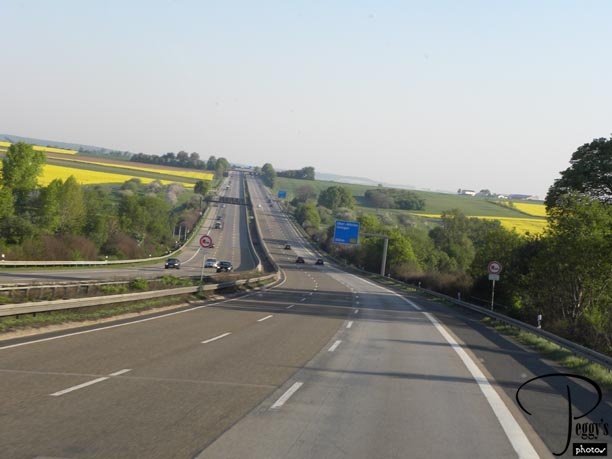
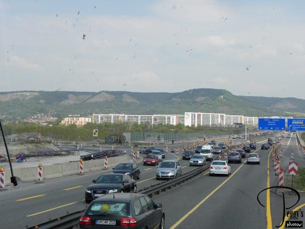
Today, we drove from Frankfurt–am–Main to Berlin with a stopover in Weimar, 360 miles or 575 kilometers. Photo: The German Autobahn. How the autobahn works: Usually, there is no speed limit on it, except for areas expected to be congested. The fastest lane is the inside lane and slower cars stay on the right two lanes or on the right lane if there are only two lanes in one direction. But if you want to drive at 90 plus miles an hour, you still have to slow down if the car in front of you is only going 85. The 90 plus miles an hour driver tailgates the car going 85 and continues to do so until the slower car can safely pull into the lane on the right. There are accidents. Most drivers seemed to prefer to travel on the slower lanes.
The yellow fields were of canola, from which canola oil is made. We saw many such fields.
The German Autobahn
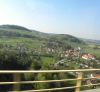
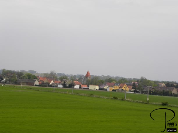
The German Countryside
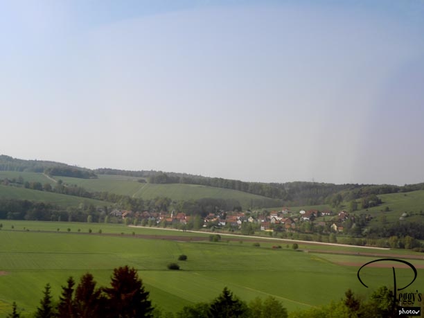
A great time of the year to travel in this area as the fields were green or else yellow with canola. The terrain was hilly and small villages were tucked inside them.
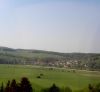
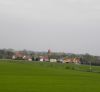
The German Countryside
The German Countryside
A village closer to the road. Very pretty with red–tiled roofs.
The German Countryside
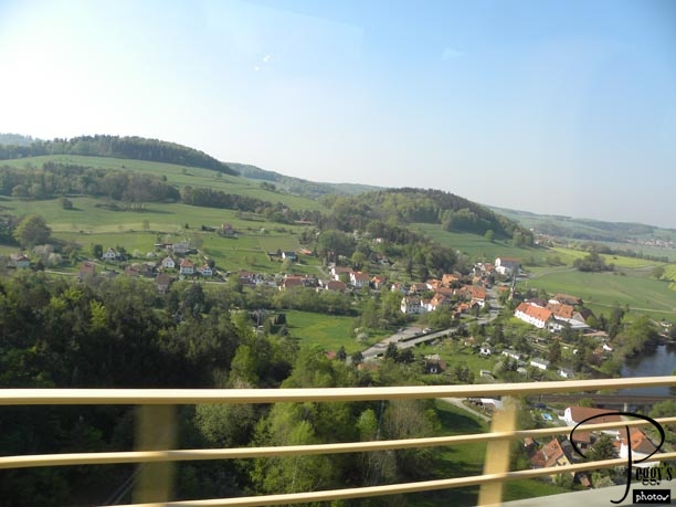
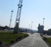
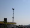
The Border Between East and West Germany
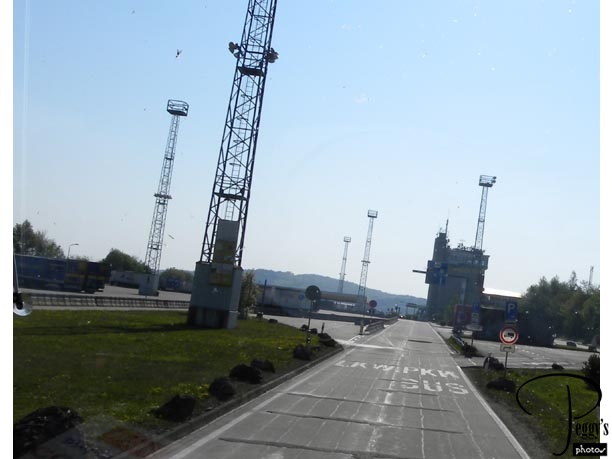
We are arriving into what was East Germany. Germany was split into East Germany and West Germany after World War II and East Germany became a communist state under the USSR. Note the watch towers in the photo that were used to look for anyone trying to escape from the east to the west.
The Border Between East and West Germany
The Border Between East and West Germany
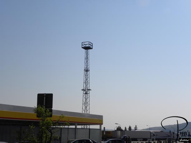
Another view of one of the watch towers. We had a comfort stop here and could get a cup of coffee, etc. We usually had to pay to use a bathroom everywhere on our trip. Sometimes there were automated machines to put in the money, but most times there were bathroom monitors, some quite scary, who made sure that you paid before entering a bathroom. The usual cost was 50 cents, which was 1/2 a euro or about 70–75 cents U.S., depending on the exchange rate you got your euros at.
The Border Between East and West Germany
At Our Comfort Stop
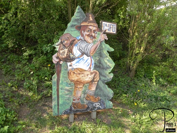
I only saw German men in lederhosen on this sign and at the Hofbrauhaus in Munich and the latter were dressed up for some special event. When I was in Germany in 1955, I saw many men in lederhosen and I remember some dressed so in 1962 as well. Clothing styles have changed here.
At Our Comfort Stop
In the German Countryside
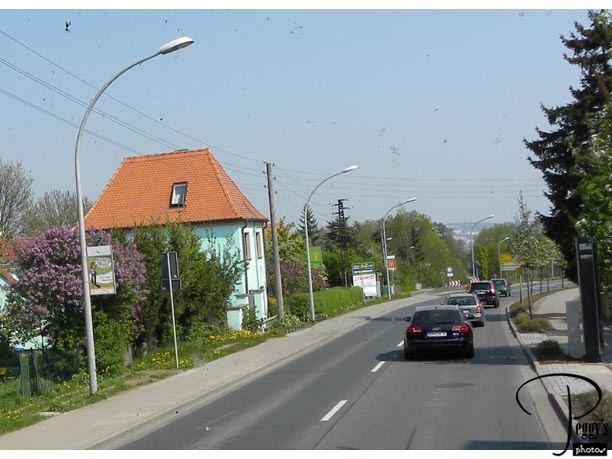
We are now off the autobahn and on a two–lane road in the countryside heading to Weimar.
In the German Countryside
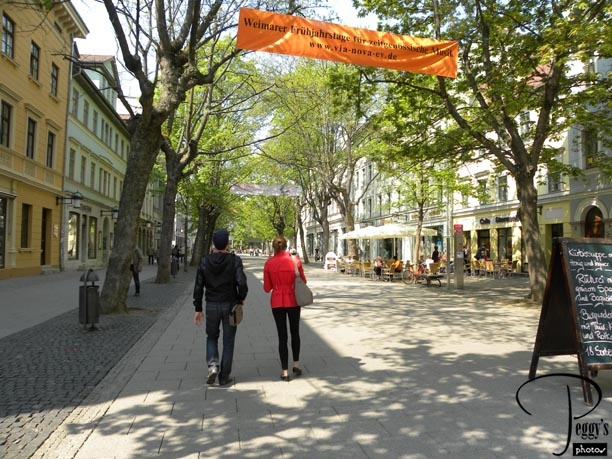
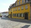
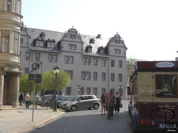
Entering Weimar
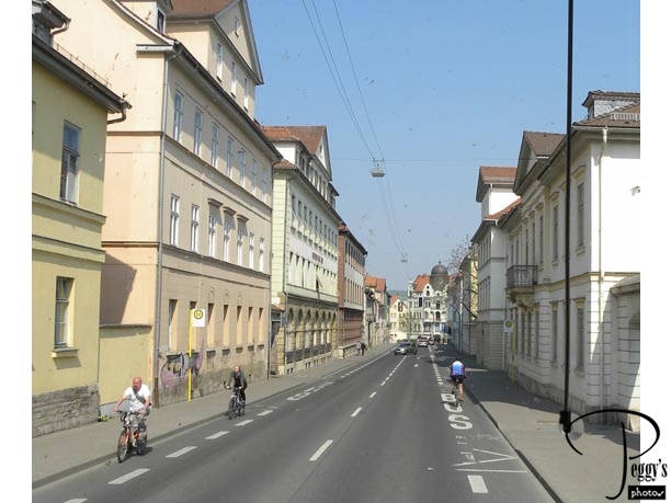
We made a stop in Weimar for lunch and had time to walk around the town. Weimar dates back to 855. Its name may sound familiar to you: It is where Germany’s first democratic constitution was signed after the First World War, with Weimar giving its name to what is known as the German Weimar Republic of 1918–1933.
Entering Weimar
Weimar
Driving to the city center.
Weimar
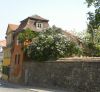
Weimar
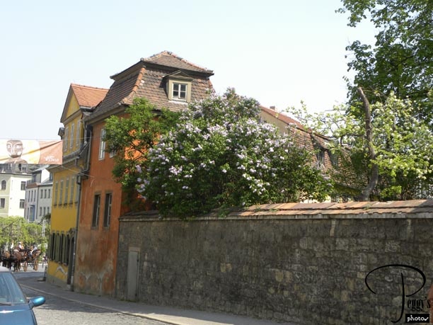
Lilacs were in bloom throughout our trip.
Weimar
Weimar
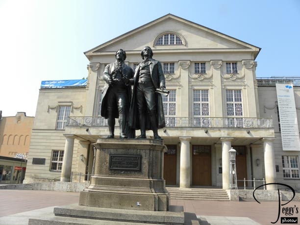
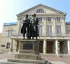
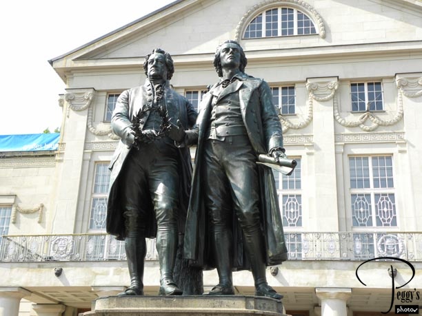
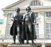
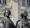
Statues of the famous German writers Goethe (on the left; 1749–1832) and Schiller (on the right; 1759–1805), who were both from Weimar. The statues are in front of the National Theatre.
Weimar
Weimar
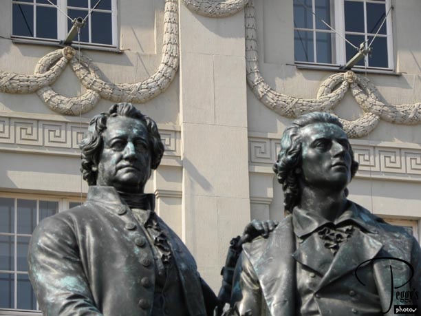
Closer–up of the statues.
Weimar
Weimar
And closer–up.
Weimar
Weimar
Walking around Weimar––a very pretty town.
Weimar
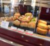
Lunch
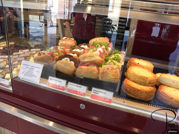
I found a bakery/cafe that also had sandwiches to eat at and ate lunch with two of my tourmates. The sandwiches were oh so good––I had a ham sandwich. I don’t know if we paid more for the sandwiches because we sat down, but at 1,99 to 2,49 euros they were at a good price.
Lunch
Lunch
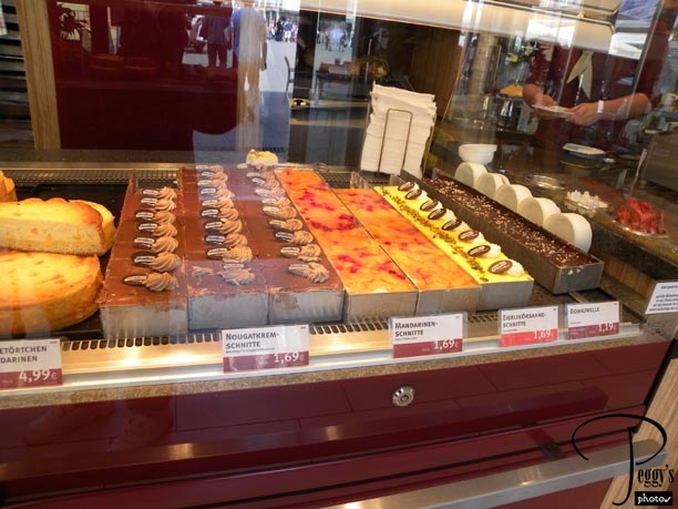
Of course, I had a pastry for desert (1,69 euros) plus a Coke Light. The pastry in Europe is delicious and not to be resisted. One of their secrets is not putting in as much sugar as they do in the U.S.
Lunch
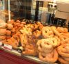
More of the Bakery
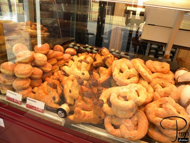
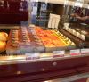
I didn’t buy any of these even though they were inexpensive: 0.79 to 1,00 euro, but they sure looked good.
More of the Bakery
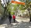
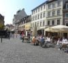
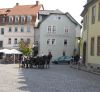
Walking Around Weimar
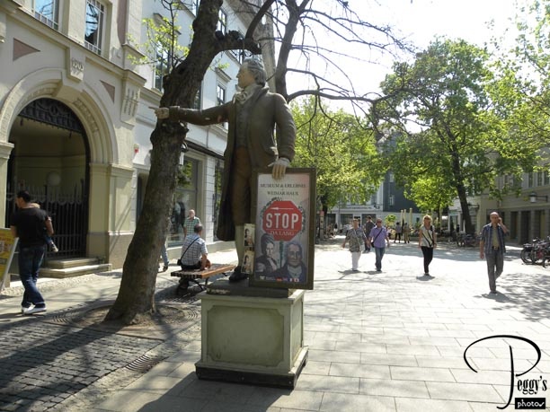
A statue directing you to a museum.
Walking Around Weimar
Walking Around Weimar
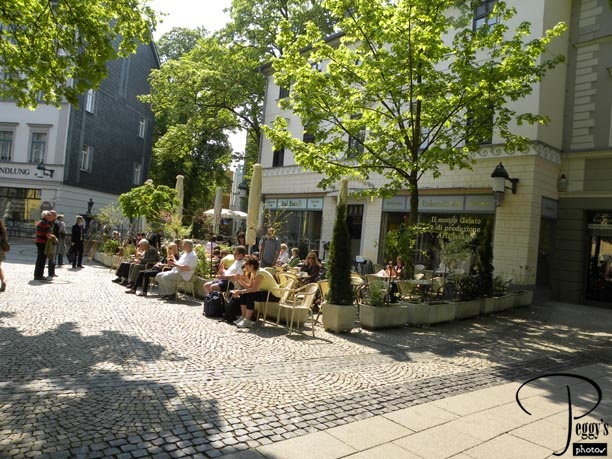
A sidewalk cafe.
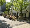
Walking Around Weimar
Walking Around Weimar
An old building.
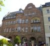
Walking Around Weimar
Walking Around Weimar
Looking back from where I just walked.
Walking Around Weimar
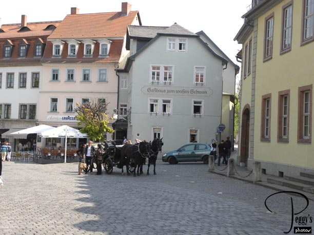
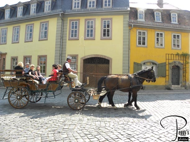
Walking Around Weimar
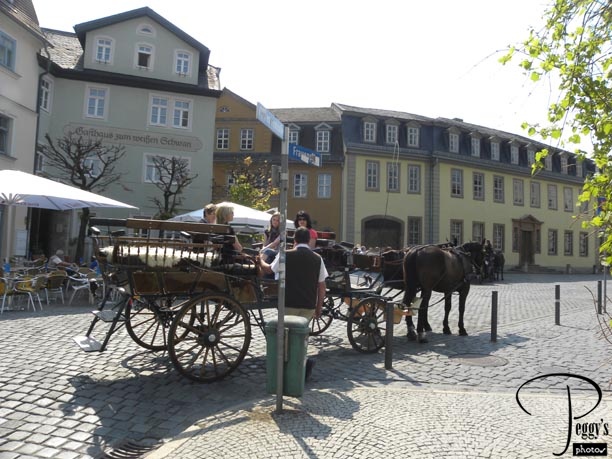
Horse and buggy rides available here. They were offered in almost every city and town that we visited as we went to tourist areas.
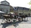
Walking Around Weimar
Walking Around Weimar
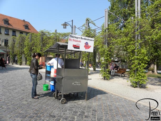
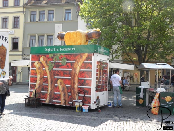
A food cart.
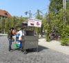
Walking Around Weimar
Walking Around Weimar
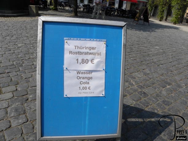
The food cart’s prices. I don’t think I paid that little for wasser (water) anywhere I bought it. But it is not so easy buying bottled water in Europe because you have to make sure that you are buying the type of water that you want––I wanted natural (no gas) water, not mineral water. Since I couldn’t read what was written on the water bottles, I had to confirm that I was buying the correct water and sometimes I still found that I had bought mineral water. To make it more confusing, some “no gas” water actually had some bubbles in it and bottles having the same print on them could get you slightly different contents.
Walking Around Weimar
Walking Around Weimar
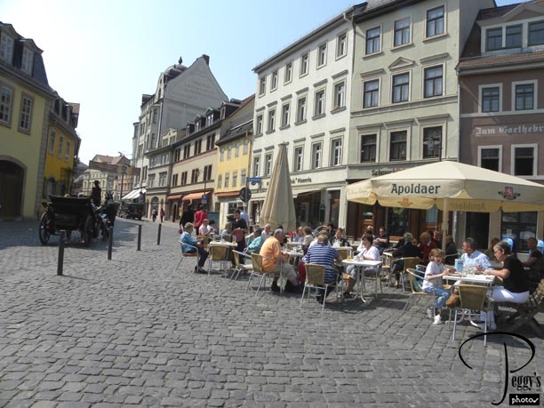
More sidewalk cafes.
Walking Around Weimar
Walking Around Weimar
Another horse and buggy.
Walking Around Weimar
Walking Around Weimar
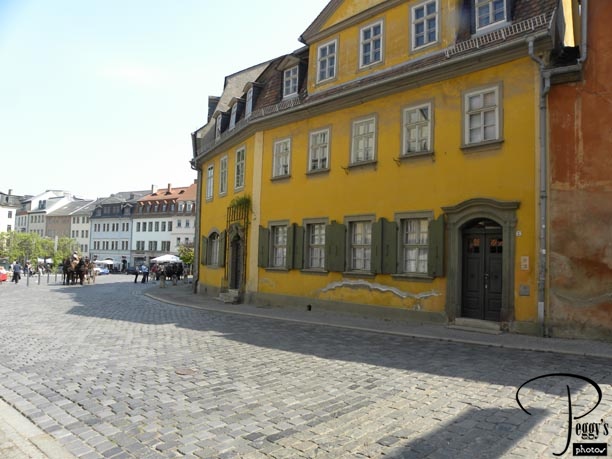
More old buildings.
Walking Around Weimar
Walking Around Weimar
Another horse and buggy. The horses looked healthy and well cared for.

Walking Around Weimar
Walking Around Weimar
And still another.
Walking Around Weimar
Walking Around Weimar

Advertising an ice cream store of which there were many. Europeans seem to love ice cream.
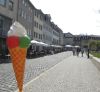
Walking Around Weimar
Walking Around Weimar

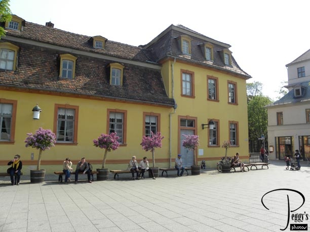
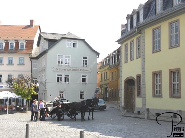
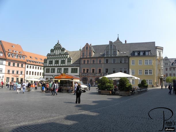
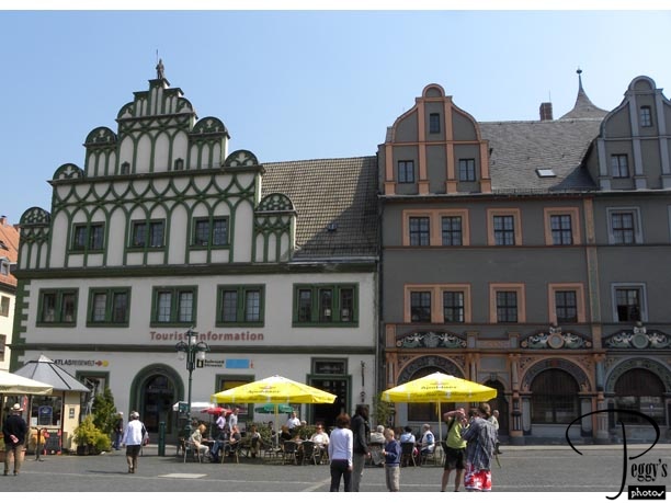
I found the main square. I hadn’t realized that I wasn’t in it beforehand. The building in the center is the city hall. I have spotted two of my tourmates in the photo. During our free time, we usually walked around by ourselves––that is, individually if we were traveling on our own or with the person we were traveling with. Occasionally, we would run into a tourmate on our walks.
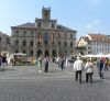
Walking Around Weimar
Walking Around Weimar
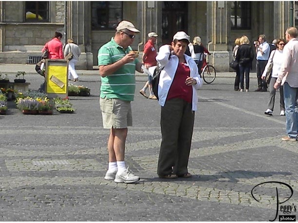
Enlarging the photo gives a good picture of Jeff and Margie. They are from South Africa. Margie told me that they had extensively toured the U.S. and most likely saw more of the United States than most Americans have. Very impressive.
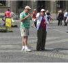
Walking Around Weimar
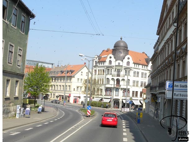
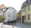
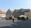
Weimar’s Main Square
Many beautiful buildings here.
Weimar’s Main Square
Weimar’s Main Square
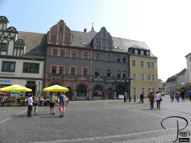
Closer–up of some of the buildings.
Weimar’s Main Square
Weimar’s Main Square
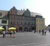
Another close–up.
Weimar’s Main Square
Weimar’s Main Square
A collage of different architecture.
Weimar’s Main Square
Weimar’s Main Square
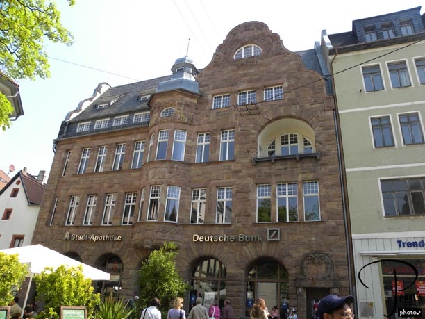
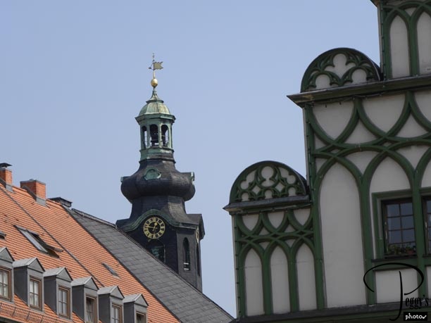
Another old building. Weimar looks so peaceful: beautiful buildings, horse and buggy rides, sidewalk cafes, and wonderful pastry and ice cream shops. There is also much more to see in Weimar of interest. So it is hard to believe that one reason people travel to Weimar is that it is only 6 miles away from Buchenwald, the Nazi concentration camp, now a tourist attraction.
Weimar’s Main Square
Weimar’s Main Square
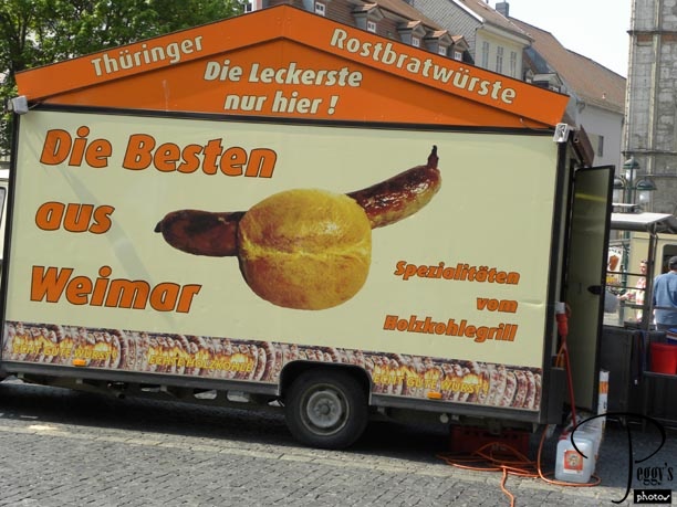
On a lighter note, a food stall on the main square. I think “Die Besten ous Weimar” means the stall is selling the best sausages in Weimar.
Weimar’s Main Square
Weimar’s Main Square
And another food stall. You are going to go hungry in Weimar.
Weimar’s Main Square
Back on the Autobahn
Back on the Autobahn, next stop Berlin. We are passing Jena, where the Carl Zeiss factory is. You can take a tour of the factory. I believe Zsofia told us that those apartment houses were built by the communists and were built in a way that people lived very close together and, hence, could report on their neighbors.
Back on the Autobahn
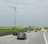
On the Autobahn
We saw many of these windmills along the autobahn and also in the other countries that we visited.
On the Autobahn
On the Autobahn
Passing another German village in the countryside.
On the Autobahn
Entering Berlin
We made it to Berlin in the late afternoon, entering it through what used to be Checkpoint Bravo. After World War II, Berlin was divided into West Berlin and East Berlin, with East Berlin being controlled by the communists. East Berlin became the capital of East Germany. West Berlin was controlled by the Americans, British, and French. In 1961, the Berlin Wall was constructed by the communists to keep the East Berliners from escaping to West Berlin. The wall fell on November 9, 1989. It was difficult to figure out whether you were in East or West Berlin when we were in Berlin, but I think this photo is of West Berlin.
Entering Berlin
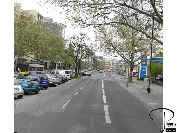
Driving Around Berlin
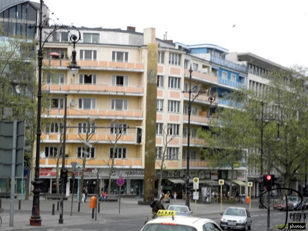
Driving around Berlin on the way to our hotel.
Driving Around Berlin
Driving Around Berlin
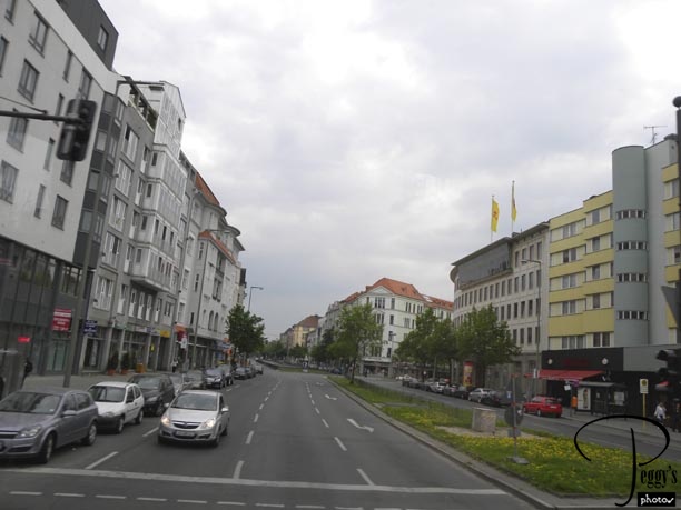
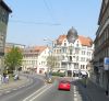
We noticed wide streets, sidewalk cafes, and many stores.
Driving Around Berlin
Driving Around Berlin
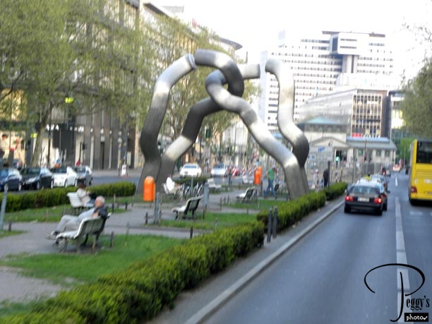
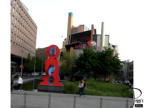
This statue is known as “The Berlin Statue,” dating from 1987. It was meant the symbolize the severed connections between East and West Berlin at that time.
Driving Around Berlin
Driving Around Berlin
Another statue seen on our drive.
Driving Around Berlin
Driving Around Berlin
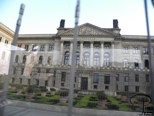
The Bundesrat, where the legislature body that represents the 16 federal states of Germany meet. It was the former Prussian House of Lords.
Driving Around Berlin
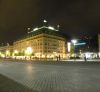
Berlin at Night
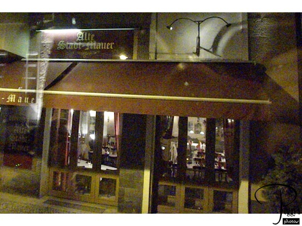
We had an optional excursion tonight called the Berliner Specialities Dinner which also included a night tour of Berlin. We had our dinner at the Alte Stadt–Mauer restaurant––I didn’t take a photo of the dinner, but I think it was German sausage, German fried potatoes, and sauerkraut, which was tasty. I also had a German beer.
Berlin at Night
Berlin at Night
We also had entertainment with our dinner.
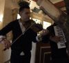
Berlin at Night
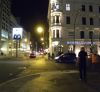
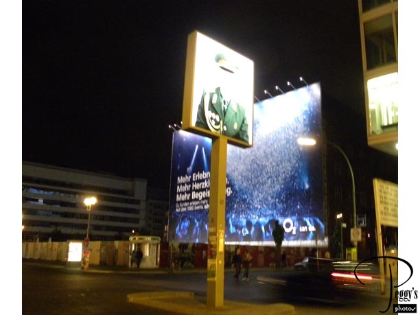
Checkpoint Charlie
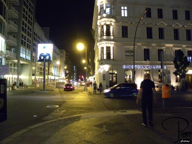
After dinner, we drove around Berlin. We are at Checkpoint Charlie, with the Einstein Cafe on the right. Through the checkpoint, going to the back of the photo, the area was in American control. Toward the front of the photo, the area was in the control of the Russians.
Checkpoint Charlie
Checkpoint Charlie
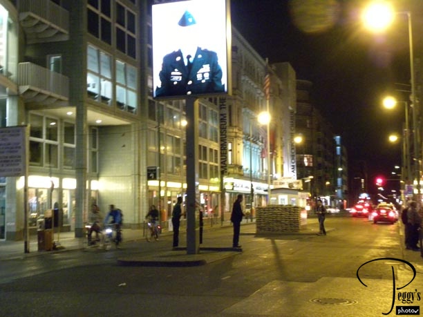
A closer–up view of Checkpoint Charlie. The actual checkpoint only consists of the small shed.
Checkpoint Charlie
Checkpoint Charlie

Better photo of the American soldier in front of the checkpoint.

Checkpoint Charlie
Checkpoint Charlie
Looking in the direction to East German checkpoint.
Checkpoint Charlie
Checkpoint Charlie
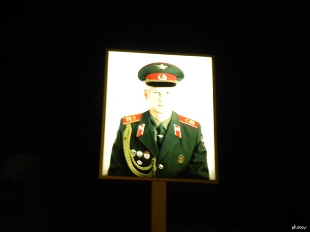
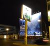
A Russian soldier.
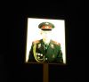
Checkpoint Charlie
Checkpoint Charlie
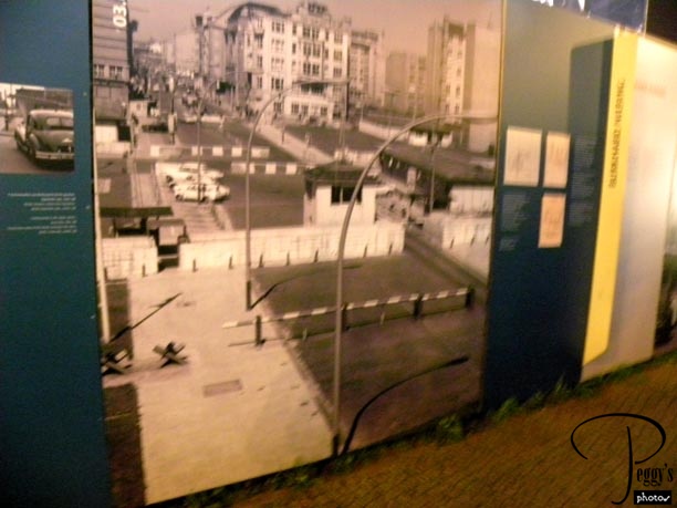
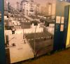
Photo of Checkpoint Charlie as it was when East and West Berlin was divided.
Checkpoint Charlie
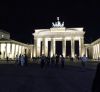
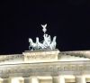
Brandenburg Gate
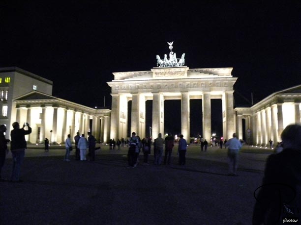
We next drove to the Brandenburg Gate. The Brandenburg Gate was located in East Berlin. When the Berlin Wall was built, it restricted traffic through the gate from both the West and the East. When the wall came down, the Brandenburg Gate became a symbol of freedom.
Brandenburg Gate
Brandenburg Gate
Closer–up view.
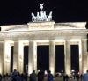
Brandenburg Gate
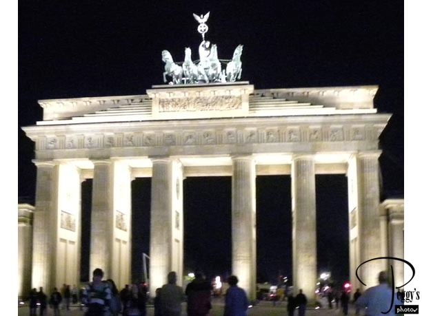
Brandenburg Gate
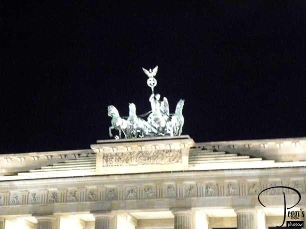
The statues at the top of the gate.
Brandenburg Gate
Brandenburg Gate
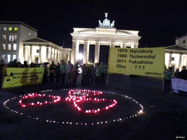
A small quiet protest was being held here by Greenpeace against nuclear energy.
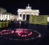
Brandenburg Gate
Brandenburg Gate Area
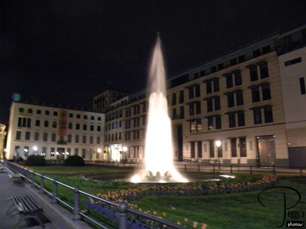
There was a lighted fountain on each side of the gate.
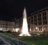
Brandenburg Gate Area
Brandenburg Gate Area
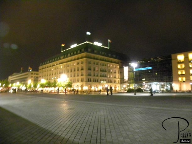
Since it was pointed out to us, I will repeat it: In the photo is the Hotel Adlon, which is right before the Brandenburg Gate. It is the hotel where Michael Jackson dangled one of his children out the window.